
This time I wanted to look at the area where a future lean-to is planned. The Hoffman Notch Wilderness Unit Management Plan shows a future lean-to at the confluence of Platt Brook and two other un-named drainages.
From the parking lot, I followed the primary jeep road for 1.1 miles to the first pair of spring houses that I had seen on Saturday. At that point, there was another old jeep road branching off to the right heading due west.
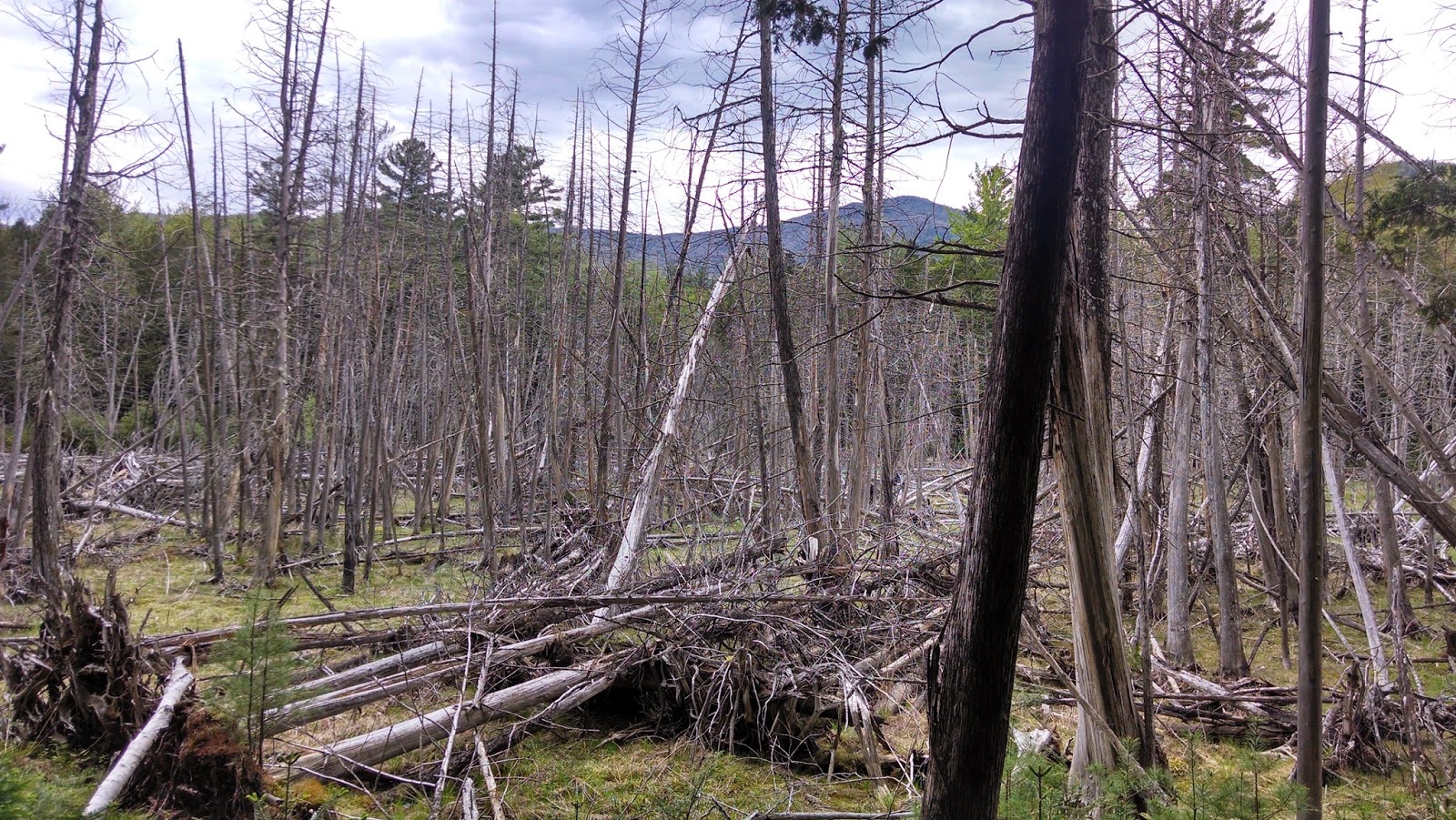
I followed this trail up over a small ridge line to the north of Smith Hill. The trail then turned SW and wrapped around Smith Hill dropping down to a wet marshy area.
 |
| Marsh NW of Smith Hill |

I continued SW towards my target location following a faint heard path along the edge of the marsh and the base of Smith Hill. As I neared the water sources, I came upon a well defined unmarked foot path.
 |
| Platt Brook |
I first followed the foot path to the SE until it appeared to fade away near another wet marshy area. Below are just some pictures along the way of the brook.
 |
| Rev found Platt Brook to be acceptable |


Next I retraced my steps on the footpath to where I first found the path and then continued to follow it in the other direction (NE). There were several small herd paths, but the most obvious path continued along Platt Brook. There were several nice water spots along the way.

This whole area just provides a great place to walk. Platt Brook is very pretty and very accessible. The future North Country Scenic Trail is proposed to go through this area and I can see why.
This is an area very few people visit, or have heard of, but it is a pleasure to explore.
 |
| The obvious foot trail |
 |
| Foot path continuing along Platt Brook |
 |
| Water sheets on Platt Brook |
Hike Stats:
Hike Distance: 6 miles
Hike Time: 2.5 hours
Total Vertical Gain: ~ 900'
 |
| The route (Click image to enlarge) |
No comments:
Post a Comment