
Today was a revisit to Jay Mountain in the Jay Mountain Wilderness, just east of Upper Jay, NY. I was last here on Christmas Day 2011 in subzero wind chill and snow. Take a look at those pictures contrasting to these... I was thoroughly impressed then, and I still am. This is one of my favorite hikes. It beats most of the high peaks!
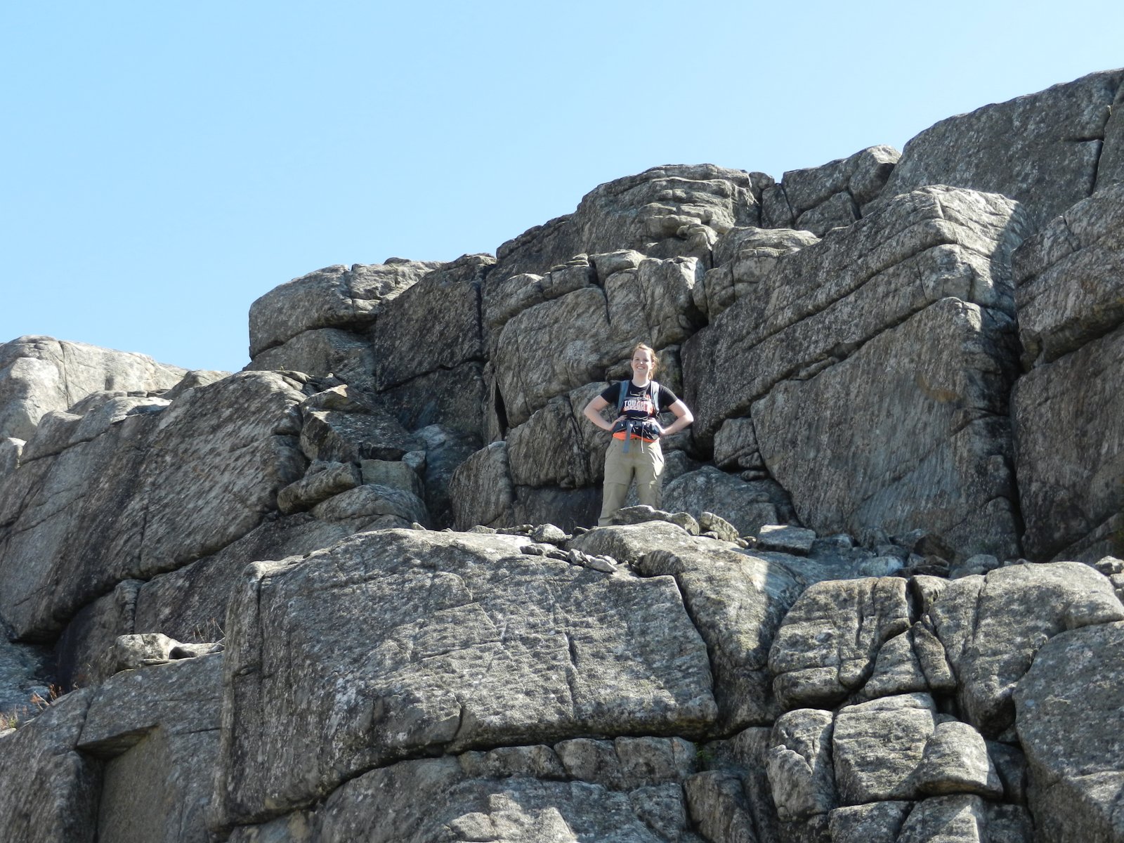
The trail is a herd path, but is not hard to follow. In the first hour you hike due east following the herd path through the woods to the beginning of the ridge. You break out onto the rock at 3000' and it's mostly open rock ridge walking from there. The rock alternates between loose gravelly rock, boulders, and large slabs of rock. It is simply amazing.
Today my daughter was with me. We started at 8:30 and were up on the beginning of the ridge at 9:30. We followed the ridge for an hour and a half of mostly open rock with beautiful views in all directions. We reached the summit just before 11.
I want to come back here in the late summer or fall and camp. There are excellent spots everywhere. Today the black flies weren't too bad while we were moving, but we weren't able to stop moving for long before they were all over us.
I won't repost the maps and route, since they are available on my earlier post at the link above
Kids would love this ridge. It is one of the most impressive ones that I've been on. Especially for the amount of effort required to get there. Don't miss it. The herd path isn't hard to follow. Once on the rock, follow the rock cairns. The path mostly follows the right side of the ridge.
The trailhead is a little difficult to find. There is just a little pipe near the road with a ribbon on it.
Hike Stats:
Hike Distance: 6.3 miles
Hike Time: 4.5 hours
Total Vertical Gain: 2790'
Trailhead Elevation: 1475'
Summit Elevation: 3576'
Some of today's pictures are below.
 |
| Lindsay and Rev midway along the ridge |
 |
| Purple Trillium |


 |
| Can't quite read the writing on this plaque at the summit |
 |
| The summit |
 |
| Lake Champlain in the distance |
 |
| Whiteface Mountain Ski Area in the distance |
 |
| A great picnic rock |
You've convinced me to put this on the must-hike list for this summer. It's a lot of vert for our kids, but I think they'd love it.
ReplyDeleteNice photos. I actually really like the tight photos of the "technical" features, which you can skirt around, or if you are up to it, scrable over. You images make the Jay Range look really technical!
ReplyDeleteI'm not sure how this isn't on everyones must do. It's, imo, one of the best moderate difficulty hikes in New York. Even against bigger mountains and ranges it holds it's own.
One note, where would you get water if you camped on the ridge. Other than some potholes in the rock, I have never seen water. Is some I don't know about?
Nice work on this post.
I didn't notice any water either. I'd have to pack in some. Thanks for reading and for the comment.
Delete