Lake George

Lake George
Lake George - from Tongue Mtn Range - 11/11/2011
Showing posts with label Jay Mountan Wilderness Area. Show all posts

Sunday, November 2, 2014

Saddleback and Jay Mountains - Jay Mountain Wilderness Area - 11/2/14

I always love to get out after a fresh snow, especially the first one of the season.  I knew a little snow was expected in the North Country overnight and that a sunny, windy day was expected.  I also wanted to hike another peak on the ADK hundred highest list.  The one I chose for today was Saddleback Mountain in the Jay Mountain Wilderness Area.

My wife Leesa was too busy to hike today, but she offered to drop me off at my starting point if I wanted to do a traverse of Saddleback and Jay and finish at the Jay trailhead.  Thank you Leesa!  I always prefer a traverse to an out and back.

She dropped Rev and I off at the height of land on the Jay Mountain Road (just south of Frenyea Mountain).  I asked that she arrive at the Jay trailhead in about 5 hours; just in case I was that fast!  I didn't want to be waiting around in the cold.  She agreed, and off she went.

The start of the bushwhack looked a little intimidating, but it wasn't bad.  There are some cliff scrambles on the south side of Frenyea Mountain, so I went NE to avoid them.  Once I was east of Frenyea, I turned west to hit the summit (I can't skip a named mountain).  The summit of Frenyea is moderately thick.

From Frenyea, I could see Saddleback through the trees at a compass reading of about 20 degrees.  I was pleasantly surprised to find the travel to Saddleback to be fairly easy along my route.       


First look at Saddleback Mountain from Frenyea Mountain
I had several vantage points where I could get a good look at the false summit of Saddleback.  It gave me the opportunity to plan my ascent route.  I skirted a little west to avoid some of the steeper slab rock that faced south. 


Look at this easy walking!

Rev usually picked a good line for how to travel
After an hour from the car, I was on the false summit of Saddleback and minutes later I was on the true summit.  What a beautiful mountain.  I'll have to go back with Leesa.

Looking at Whiteface Mountain from the false summit

A zoom view of Whiteface

Looking SW from Saddleback


The summit of Saddleback Mountain

It really was a pretty day with the blue skies and fresh snow


There was a moderate breeze on Saddleback, so after admiring the views for about 15 minutes, I moved on.  I has expected the travel to Jay to be a light bushwhack, but I'd say it was more like a moderately difficult walk.  I tried to follow the ridge, but I had to maneuver about a bit.  I was finding thick spruce and boulders on the ridge, and blowdown on the slopes.  I was expecting about an hours walk to Jay, but it took more like 90 minutes.     

A look back at Saddleback Mountain 

Nearing the summit of Jay Mountain

The summit of Jay


The Jay Range


Once on the Jay Range, travel of course was easier.  I was quite surprised that wind wasn't bad on the ridge.  I think the wind was coming from the NE and the ridge felt nice in the sunshine.  It actually felt windier after I dropped off the ridge and was descending to the car.


A couple crows were bothering Rev on the ridge

looking back up the Jay range
I only ran into 2 people all day.  I saw one woman on the middle of the Jay range while I was leaving and she was climbing.  I saw a second woman with a dog enjoying the sunshine from the western most bump of the range.
   

I was able to call Leesa from the Jay Range and let her know that I could be down to the car in about 90 minutes if she could get there then.  From that point on, it was just an easy stroll down the new Jay trail back to the warm car.  


Hike Stats:
Hike Distance:  7.1 miles
Hike Time:  5 hours
Total Vertical Gain:  ~1950'


The route (click image to enlarge)


Saturday, January 18, 2014

Slip Mountain and Bald Peak - Jay Mountain Wilderness Area - 1/18/14

 I little over a year ago Leesa and I were in the Jay Mountain Wilderness Area to hike Mount Fay and Carson Mountain from Seventy Road.  At that time, I had added Bald Peak and Slip Mountain to my future hike list.  They lie just west of Seventy Road and looked fantastic from Mount Fay.
 
Today we made it back to follow up.  The conditions were perfect in the woods for a nice bushwhack hike.  There was a crust of snow with an inch of fresh powder on top.  The crust was firm enough that we didn't break through too often, and when we did, the snow wasn't that deep.
 
We were quite surprised when we arrived at Seventy Road to find that a Jeep was already parked there and someone had already started snowshoeing exactly where we were headed!  What are the chances of that?  Rembember, this was a bushwhack hike.  
 
 
Seventy Road
 
We started out at 9:20 AM.  It was about 20 degrees, but it didn't feel like it.  I quickly removed my mid-weight shirt and hiked with a short sleeve shirt and shell.  It was also forecast to be cloudy with light snow, but we only saw partly sunny skies.  No problem there.
 
We followed the snowshoes tracks for about 10 minutes, until it became apparent that he was head south of Bald Peak.  We wanted to go north of Bald Peak, then hook around to summit from the west before continuing up just west of the ridge to Slip Mountain. 
 

Leesa with Seventy Mountain in the background 
 
We went west through the draw between Seventy Mountain and Bald Peak then turned southwest.  We arrived in a nice little cleft between Bald Peak and the Slip Mountain ridge.  We dropped our packs for a fun little scamper up the summit cone of Bald Peak.  It was a nice little 5 minute climb to the summit.  Very neat spot with great views.  We got a great look at Slip Mountain. 
 
     
Slip Mountain from Bald Peak
 
We spent quite a while on Bald Peak.  It's got a few places you can walk around to for different views.  I was really eyeing at Bluff Mountain to the northwest and wishing in was not on private land.  It looks spectacular with all it's open rock.  Leesa said it reminded her of some of the peaks on Acadia National Park.
 

The summit of Bald Peak
 
 
Looking NW from Bald Peak, Bluff Mountain is the right-most peak
  

Zoom view of Bluff Mountain (Quite nice yes?)
  

Mount Fay from Bald Peak
  

Leesa and Rev on the summit of Bald Peak with Slip Mountain behind
 
 
Panorama of Slip Mountain from Bald Peak
 
 
Slip Mountain from Bald Peak


 When we finally left Bald Peak, we headed southwest, stayed just right of the ridgeline.  While the ridgeline offers a couple nice viewpoints, it is thicker growth and much tougher walking.  We traversed the slope making our way through lots of light blowdown.  Eventually it was time to turn up the slope to hit the ridge for the final push to the summit.
 
As we reached the ridge, we once again came across the snowshoe tracks.  The tracks were only going up and not down, so I guessed the person was still ahead of us... perhaps on the summit.  Just as we crested the summit plateau, we saw an older man making his way back down.  I'll bet he was surprised to see us!  I told him we had seen his tracks at various points and figured we would see him here.  He continued his retreat and we took our last final steps to the summit.  I had to help Leesa and Rev and up on the rock at the summit.  There was no easy way to step up.
 
Once again we were rewarded with some fine views.  At this summit, we could see the Great Range in the distance.  We still had the sunshine in our faces and it was continuing to warm up.   


Zoom view of the Great Range from Slip Mountain 
 
We ate our lunch on the summit and of course took lots of pictures.  It was then time to go down.  We decided to just follow our tracks out.  We were a bit quicker on the way down since we had gravity on our side and se didn't have to stop and think about our course of direction.
 

Summit of Slip Mountain
We got back down to Seventy Road and walked the 3/4 mile back to where the snow plow had stopped and our car was parked.  It had warmed up to 37 degrees, but some clouds were now coming in.  It didn't matter, we had enjoyed another day in the sunshine.
 
Hike Stats:
Hike Distance:  6.4 miles
Hike Time:  5 hours
Total Vertical Gain: ~ 1800 feet


Our route (click image to enlarge)

Friday, May 18, 2012

Jay Mountain, Upper Jay NY - 5/18/12


Today was a revisit to Jay Mountain in the Jay Mountain Wilderness, just east of Upper Jay, NY.  I was last here on Christmas Day 2011 in subzero wind chill and snow.  Take a look at those pictures contrasting to these... I was thoroughly impressed then, and I still am.  This is one of my favorite hikes.  It beats most of the high peaks!

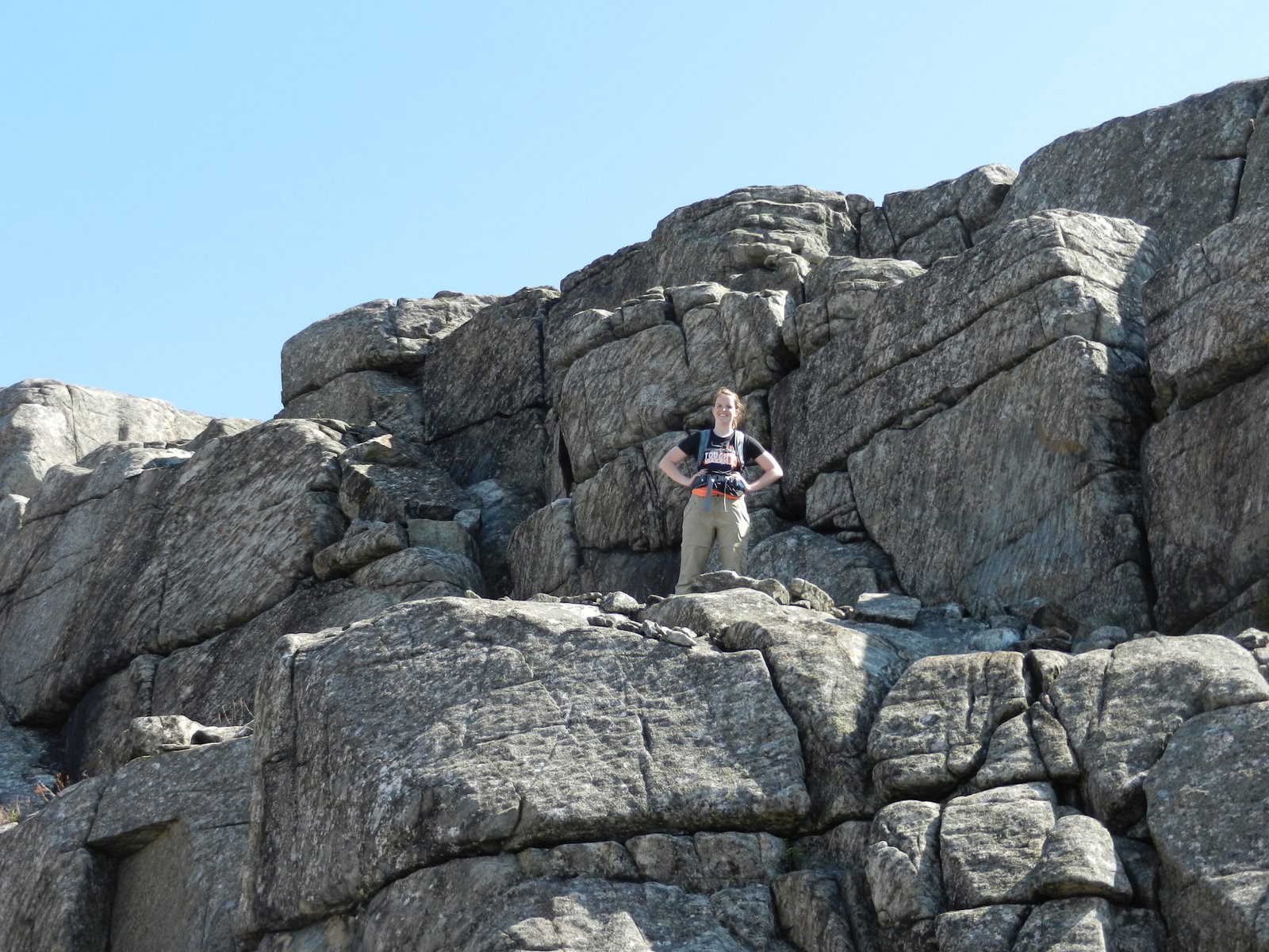
The trail is a herd path, but is not hard to follow.  In the first hour you hike due east following the herd path through the woods to the beginning of the ridge.  You break out onto the rock at 3000' and it's mostly open rock ridge walking from there.  The rock alternates between loose gravelly rock, boulders, and large slabs of rock.  It is simply amazing.  

Today my daughter was with me.  We started at 8:30 and were up on the beginning of the ridge at 9:30.  We followed the ridge for an hour and a half of mostly open rock with beautiful views in all directions.  We reached the summit just before 11.

I want to come back here in the late summer or fall and camp.  There are excellent spots everywhere.  Today the black flies weren't too bad while we were moving, but we weren't able to stop moving for long before they were all over us.

I won't repost the maps and route, since they are available on my earlier post at the link above

Kids would love this ridge.  It is one of the most impressive ones that I've been on.  Especially for the amount of effort required to get there.  Don't miss it.  The herd path isn't hard to follow.  Once on the rock, follow the rock cairns.  The path mostly follows the right side of the ridge.

The trailhead is a little difficult to find.  There is just a little pipe near the road with a ribbon on it.

Hike Stats:

Hike Distance:  6.3 miles
Hike Time:  4.5 hours
Total Vertical Gain:  2790'
Trailhead Elevation:  1475'
Summit Elevation:  3576'


Some of today's pictures are below.


Lindsay and Rev midway along the ridge


Purple Trillium


Can't quite read the writing on this plaque at the summit


The summit


Lake Champlain in the distance

Whiteface Mountain Ski Area in the distance


A great picnic rock