Sometimes my little adventures happen on the spur of the moment. This was the case on Monday. I was at work eating my lunch and looking at the weather forecast and thought... geez... this is the last day in the upper 70's in the 10 day forecast. I should be going out for a paddle. The next thing I knew, I was leaving work and heading for Lake George, NY to drop the kayak in the water.
 |
| My launch point at the north end of Pilot Knob Road |
I had a new trip in mind and thought it would work out perfectly. I needed 3 hours to do an eight mile loop and have some time to explore a few islands. The plan was to launch from the little beach at the north end of Pilot Knob Road and paddle north to the beginning of the Narrows and back. This would provide me with the chance to paddle past 6 state owned islands that have campsites on them. On this Monday in September, I figured nobody would be there and I could explore each of the islands to see which ones I liked. It turned out I was right... all the islands were empty.
 |
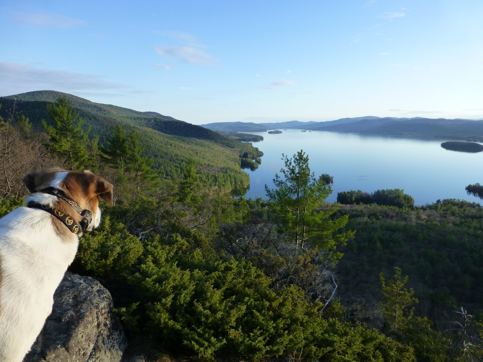
| Looking south from Perch Island |
With a three hour trip planned, I launched the kayak at 4 PM. Twenty minutes later, I had circled around Point Comfort and landed on Phelps Island. Phelps has 7 sites and is in a relatively quiet spot (considering it's on south end of the lake). I liked site 2 and the north end and site 6 at the south end. I noticed that most of the docks have just been rebuilt and are in excellent condition. Many Lake George Island campsites have tent platforms, and I believe all have a fire ring and a picnic table. The docks are sometimes shared and sometimes private to the site.
 |
| The one site on Recluse Island... quite nice! |
I continued my journey by paddling further north past Watch Point to the next island, Recluse Island. Recluse is a 1-site island and is very nice. It has a great area for a tent and also has a nice rock point at the north end. It's also great to have the whole island to yourself! The only downside (in my mind), is that it sits close to the shore, and there are several rental cottages nearby.
 |
| Looking north from Recluse Island |
My next stop was Perch Island, another 1 site island. It's a nice island, but is somewhat close to Log Bay and Log Bay Island (a popular cruiser island). The sites on Log Bay are cruiser sites, meaning that you tie your boat to the dock and sleep on your boat. You have a picnic table on the island, but you sleep on your boat. This area gets quite busy and sometimes quite loud during the summer season.
Also adjacent to Perch Island is a small island called Iroquois Island. Iroquois does not have any facilities for use by the public. Back in the boat once again, I paddled past Log Bay Bay Island and out to Huckleberry Island. Huckleberry has three sites. It was 5:20 at that point. I had just enough time to swing around Hens & Chickens Island (actually comprised of five islands), but just one island with campsites (2).
 |
| The north end of Recluse Island |
After my pass around Hens and Chickens, my time was half up and it was time to retrace my route more or less. I passed the opposite sites of the islands on my way back. The return trip was into the wind, and there was a little choppiness, but I still made good progress. A beautiful sunset was developing. Without any stops on the return trip, I made it back in just over an hour. Funny how 2 or 3 hours out on the water can feel like such a long time away from the busyness of life. What a great afternoon-early evening.
 |
| Looking south on Recluse Island |
I loaded the boat back on the car and watched a pregnant woman doing some swimming exercises and yoga in the water as the sun was dropping down. All was quiet.
 |
| Heading into Log Bay. Shelving Rock Mountain in the background |
 |
| Perch Island (right), Iroquois Island on the left |
 |
| The Lac du Sacrament steamship, out for it's dinner cruise |
 |
| Unfortunately, it was time to head back |
 |
| Point Comfort |
 |
| Pilot Knob beach, my launch site |
 |
| A parting view of Pilot Knob beach |
Paddle Stats:
Paddle Distance: 8 hours
Paddle Time: 2 hours, 30 minutes
Islands visited: 6!