Lake George

Lake George
Lake George - from Tongue Mtn Range - 11/11/2011

Monday, January 26, 2015

Tongue Mountain Range - Lake George Wild Forest - 1/25/15

I try to make an annual pilgrimage to the Tongue Mountain Range in winter.  Last year, I went on New Year's day in beautiful fluffy snow conditions.  This year, I sent on Sunday and I was exposed to a variety of conditions.  The snow pack was old and crunchy.  The sun drenched south facing slopes revealed more grass than snow, and the north facing slopes were cold and windy.  Some spots were icy.

The early morning hours were spent doing some projects for work, which translated into a 10:30 start at Clay Meadows on Route 9N.  There are only 2 trailheads (by land) to the Tongue Range.  The other one being at the northern terminus of the Tongue Range, much further north on Route 9N.

My goal on Sunday was to hit Firth Peak, French Point Mountain and First Peak (all peaks with great views).  Once I reached First Peak, I knew it would be early afternoon,  If I bushwhacked to Northwest Bay from First Peak, I could eliminate the trek to Montcalm Point and save a couple miles. I don't normally look to eliminate miles, but I wanted to finish before dark.  As partial bushwhack would also mix things up a little.       


The first sign on the way to Fifth Peak 

It was a frigid morning even though it was a late.  I normally dress light and adjust my pace to keep warm.  This meant a quick pace due to the cold.  As usual, Rev was OK with this.  We gained the ridge in less than an hour and made the Fifth Peak lean-to in one hour.  We passed 2 groups along the way and that that was it for humans for the rest of the hike.
    

The Fifth Peak Lean-to offers the best view of any lean-to (IMHO), but it needs some repairs.


The section of trail between Fifth Peak and French Point Mountain is 2.3 miles, but it feels longer. There are 3 unnamed bumps that you have to go over and psychologically it wears you down.  I'm always surprised at this.  Maybe next time I'll remember. 


The view from French Point Mountain 

Since last year's trip, a lot of limbs have fallen on the trail.  A good day or two of trail work is now needed to clean up this trail.


Northwest Bay and NW Bay Brook


Tricky descent through an icy rock cleft here  


The Mother Bunch Islands


Black Mountain


The Narrows from French Point Mountain


Where can you beat this lake view?


The snow is almost gone from the warm south facing slope


The traverse from French Point Mountain to First Peak is a shorter one (1.4 miles) and is less rugged than the first leg of the ridge.  The views continue to amaze me as I move along on this ridge in winter.  The lake is totally quiet in winter which is probably why I chose to do this hike this time of year.  Summer motorboat traffic isn't so appealing to watch,     


First Peak  from French Point Mountain


A last look south from the ridge

From First Peak, I began a bushwhack NW towards the Northwest Bay Trail and a return to Clay Meadows.  It had taken 3 hours, 15 minutes to get to First Peak.   I wanted to shave some time off on my return.  The snow depth was such that I could continue to wear microspikes off-trail.  I picked my way through the forest, finding easy walking by weaving around obstacles.      


A nice cairn along one of the drainages 

I reached the NW Bay Trail just north of Bear Point.  This left me a short couple miles back to the car for a 3:30 return.  Another annual pilgrimage complete. 


Hike Stats:
Hike Distance: 9.4 miles
Hike Time:  5 hours
Total Vertical Gain:  ~2650' 


The route (click image to enlarge) 


A closer look


The route on the National Georgraphic map

Brewster Peninsula Trails - Lake Placid, NY - 1/24/15

The Brewster Peninsula Trails in Lake Placid, NY are relatively unknown to the casual tourist in Lake Placid, but they are certainly well known by locals and 2nd home owners.  Why?  The answer is clear; look at a map of Lake Placid.  This trail network lies on a peninsula at the southern end of the lake and is just around the corner from town.  The trails are used year round by all sorts of sports enthusiasts.  I like them for cross country skiing.  Dog owners love them too!  This fact was noted on Saturday.

We stopped my after hiking McKenzie Mountain Saturday Morning.  It was 1 pm when we got back to the car and we weren't ready to be done hiking for the day.  The peninsula trails were adjacent to where we were, so it was an easy stopping point.  The link above will give you directions and a description of the trails.

We didn't have our skis, but we set out on foot with microspikes.  Lots of people were out.  Some had skis, some had snowshoes.  Others had microspikes.  Perhaps even a majority had dogs.  The dogs didn't seem to mind having a place and time to socialize.  We had Rev with us, and she'll vouch for that.  

May you find relaxation & inspiration...


If you are on skis, and want a longer trip, the Jackrabbit cross-country ski trail passes right through the peninsula trail.

It was such a nice day on Saturday that we spent the remaining 3 hours of daylight wandering through the entire trail network.  I was wishing I had my skis.  The skiers were having a great time. There was a little girl there (who claimed to be a big girl), in a pink jacket that had some purple kid snowshoes that looked like dinosaur feet.  It was all fun.


Don't be deceived; this trail network is bigger than it looks. 


The lakeshore trail on the west side of the network needs lots of snow to ski 


Lake Placid


Lake Placid outlet dam


There are informational signs and nature signs on the trail network


Take the Jackrabbit Trail to continue on...


Locals may not want their secret to be shared, but their town is a tourist town and they are used to having outsiders enjoying the town.


When you have a couple hours to discover this gem, don't pass up the opportunity to do so.  This is a place that has something for everyone.

Hike Stats:
Hike Distance:  5.4 miles
Hike Time:  2.5 hours
Total Vertical Gain:  300'


Saturday, January 24, 2015

McKenzie Mountain (3860') The- McKenzie Mountain Wilderness, Lake Placid - 1/25/14

I've made a few trips recently to the McKenzie Mountain Wilderness to tackle some of the Shore Owners Association trails, and today Leesa, Rev and I headed back there to climb the Barlett Pond Trail.  This trail leads from the Lake Trail up to Bartlett Pond, then climbs steeply to the McKenzie Mountain ridge, rising over 1000' in 0.8 miles.    

We were once again blessed with great weather.  The forecast was for mostly cloudy skies, but we had a good deal of blue sky all day long.  Temps were in the low to mid 20's.


After parking on Whiteface Inn Road, we followed Bloget Road to where the trail begins on the left side just prior to a metal gate on the road.  This is the Lake Trail, which we followed until the junction with the Twin Ponds Trail.  There was about 6" of fluffy snow on the Lake Trail.  After .5 miles, we reached the fork where Bartlett Pond Trail bears left, and Twin Brook trail bears right.  We took the left towards Bartlett.  


The split of the Twin Brooks Trail/Bartlett Pond Trail

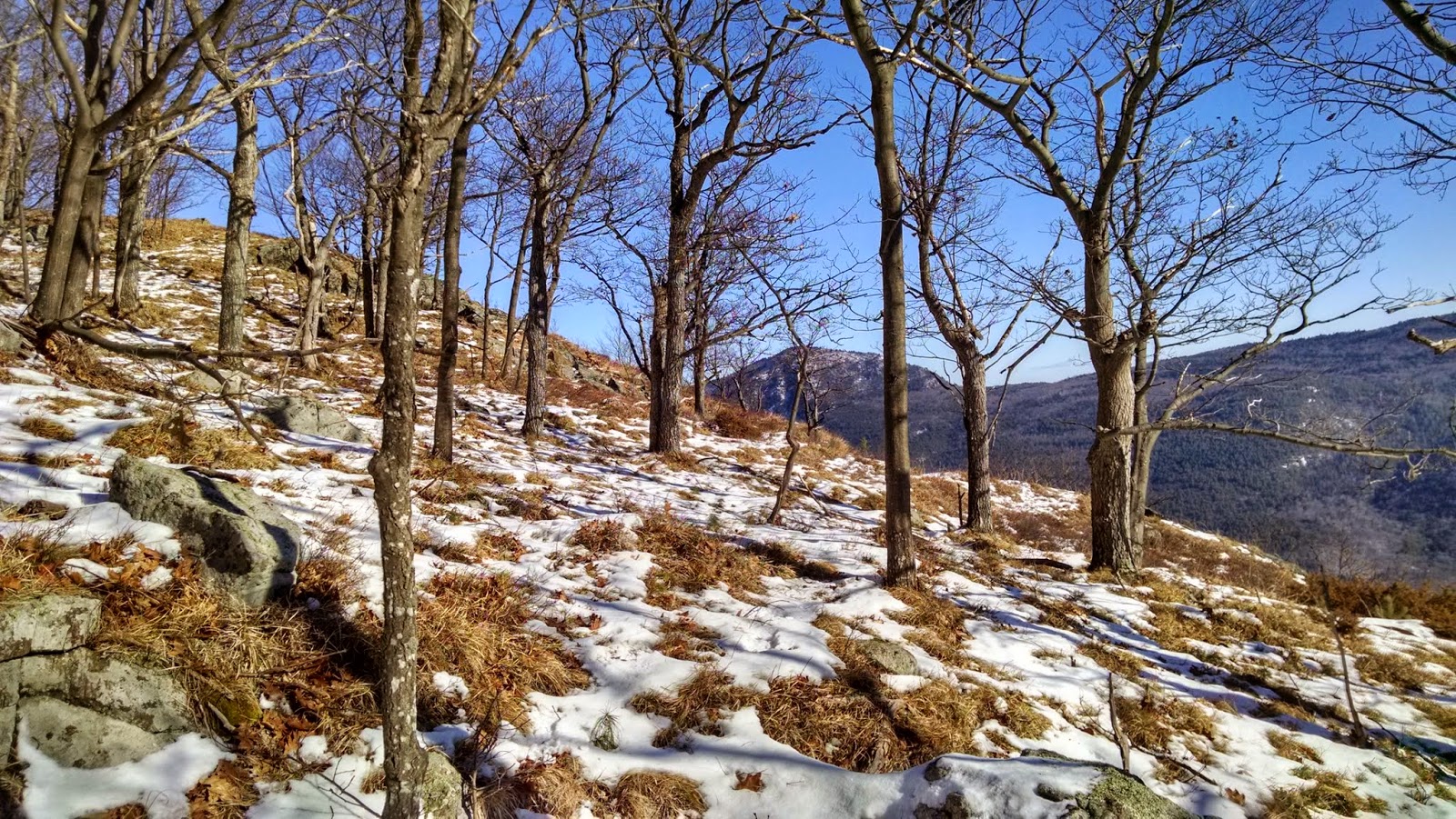
As we climbed towards Bartlett Pond, the snow got deeper, as expected.  The trail changes to a moderate grade.  The snow was still clinging to the trees and the sun was shining.  We were plenty warm as we climbed.

We ran into one one hiker was had gone a far as Bartlett Pond, and slightly beyond, before heading down.  He told us no one had broken the trail above that point.     


Bartlett Pond (Elev. 2770') ... and the dividing line of blue sky and gray sky!


A panorama of Bartlett Pond


We had some snacks at Bartlett Pond, then geared up for the final push to the top of the ridge.  I found were the lone hiker had turned around and the the trail breaking began.  I had given up hopes of climbing both McKenzie and Moose, but knew I could tackle McKenzie by itself.


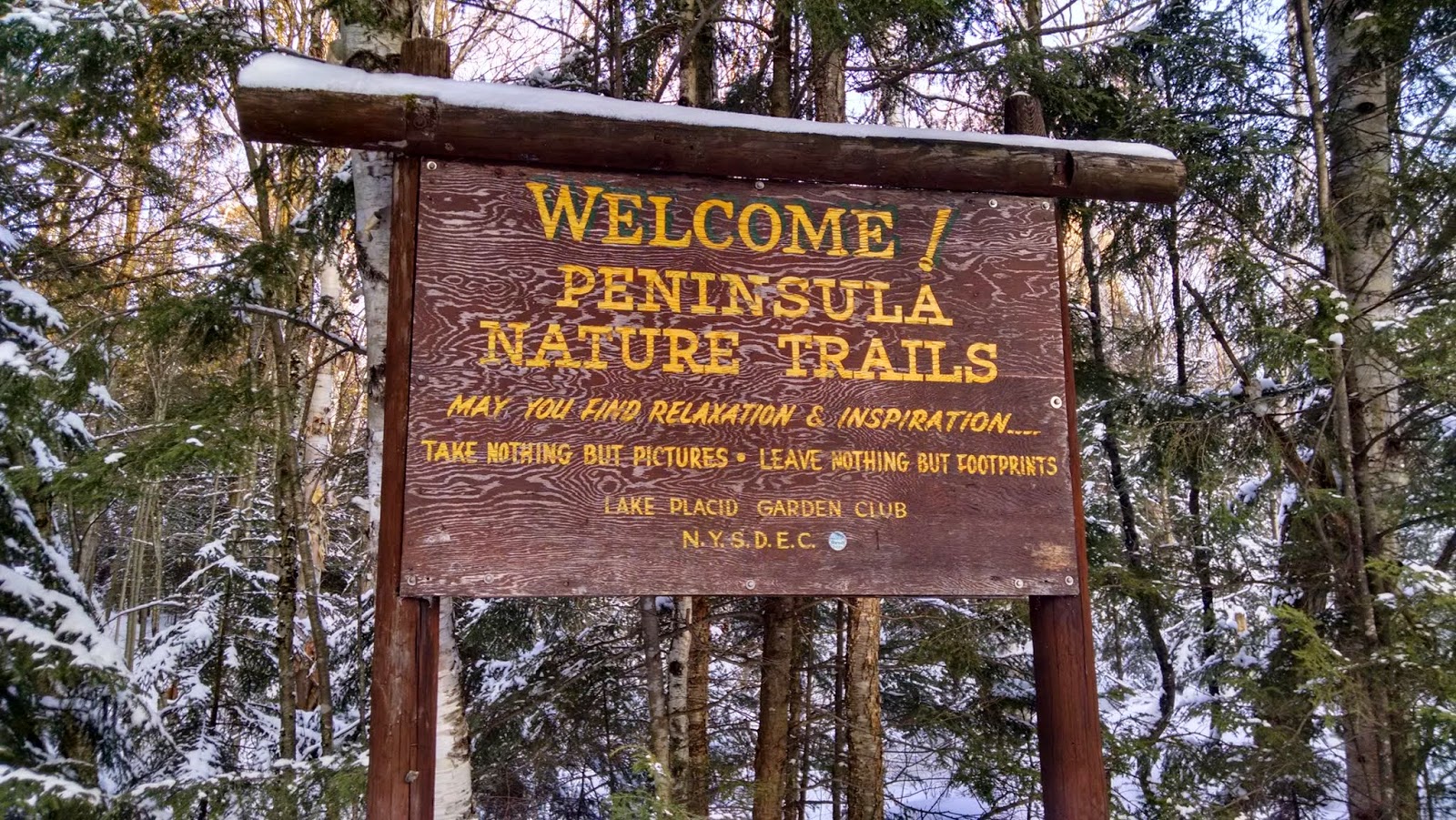
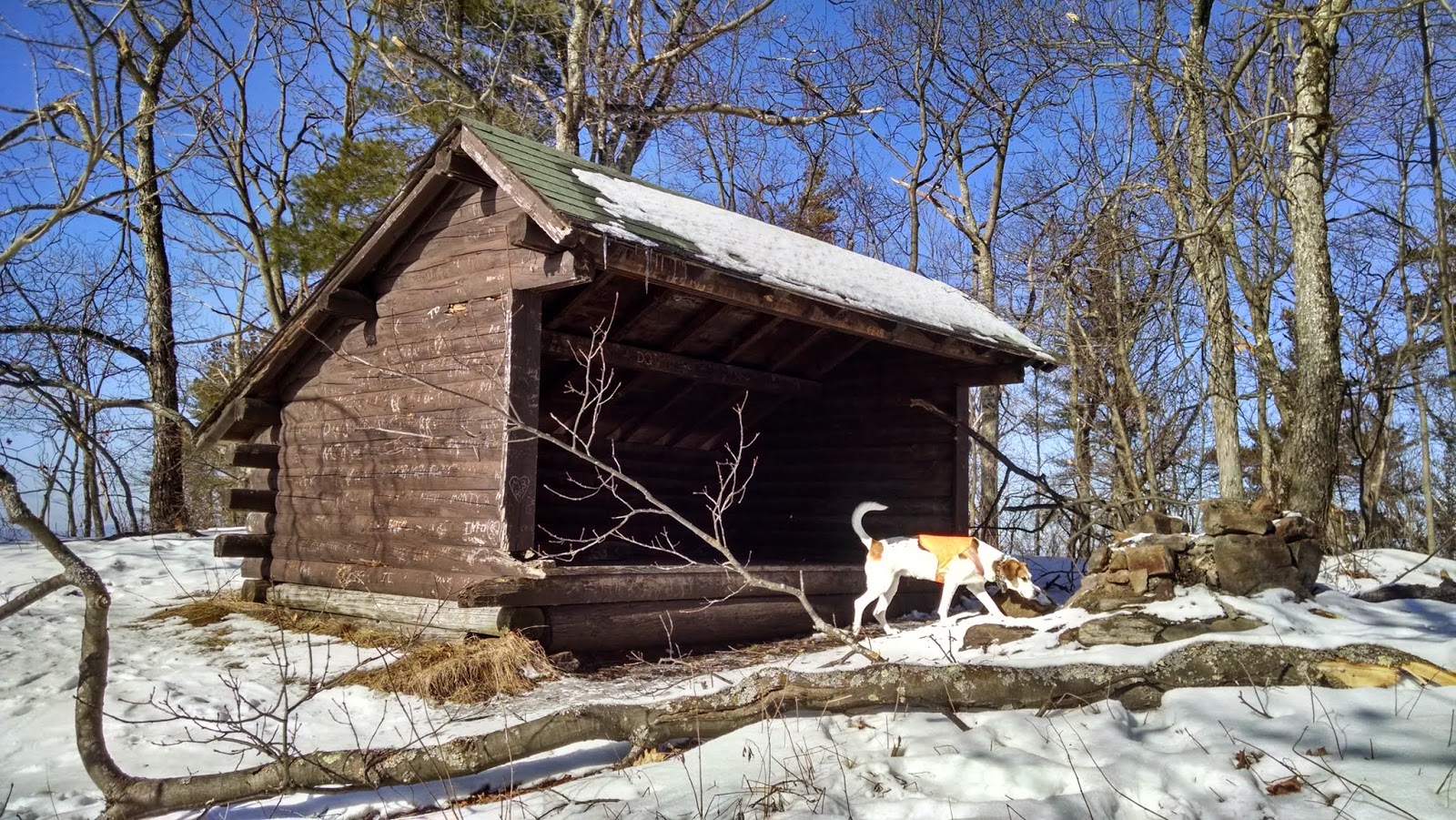
The sign at Bartlett Pond

Leesa told me to push on with Rev and she would follow at her pace.  We only had 0.8 miles to go.
I thought she would be right behind me, but I gave her a radio just in case.  It turned out that, even with my trail breaking, I was climbing a bit faster than she was.  Rev and I reached the ridge and she was still halfway up.  I continued on to McKenzie and took a series of pictures from the 2 summit viewpoints. 


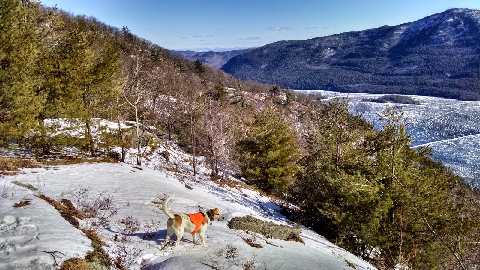
The ridge to McKenzie... Rev continued to lead 


Nice view of the Great Range

My picture of the summit disc came out a little blurry, but I had to include it in the picture set.


The summit disc at 3860'


There was some nice rime ice on the trees at the north facing overlook.


Looking towards Saranac Lake 


The northern overlook


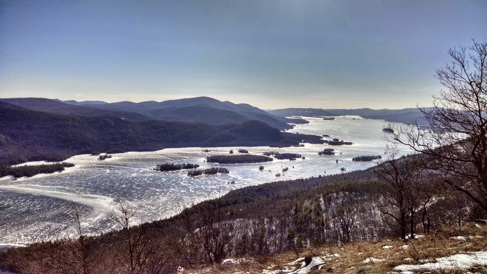
looking SW to  Lake Placid

I radioed Leesa from the top and said we'd come down to get her.  She interpreted that to mean we were headed down, so she turned around.  I had meant to meet here and then reclimb.  Oh well, she didn't care either way.  Rev and I caught back up with her before Bartlett Pond.


Moose Mountain (L), Whiteface Mountain (R), from McKenzie 
The walk down was a joy on freshly packed powder and glistening snow.  We got back to the car at 1 PM and decided to go over to the Peninsula Trails in Lake Placid and hike those for a couple hours, but I'll put that in the next post.

Hike Stats:
Hike Distance:  6.6 miles
Hike Time:  4 hours, 45 minutes
Total Vertical Gain:  ~ 2050'


Today's route is shown in blue.  The dots indicate sign locations (click image to enlarge)