Lost Pond Peak was probably the first possible bushwhack that I ever considered doing. That was many years ago. When I looked into it, I got scared off by stories of thick woods and a lack of views.
Fast forward to today. Those fears were now long gone. I was excited to be headed for this peak today. My dog Rev and I met fellow hiker Brandon at the High Peaks Information Center and we were on the trail at 8:20. I let Brandon pick the route. He opted for us to head to the Scott Creek leanto, then bushwhack West NW up the slope to the summit.
 |
| A new sign has replaced the old one that had served it's time. |
The Indian Pass Trail from Heart Lake was in good shape. It took us 40 minutes to travel the 2.1 miles to the Rocky Falls trail and we traveled the 3.8 miles to the Scott Creek leanto in an hour and 15 minutes.
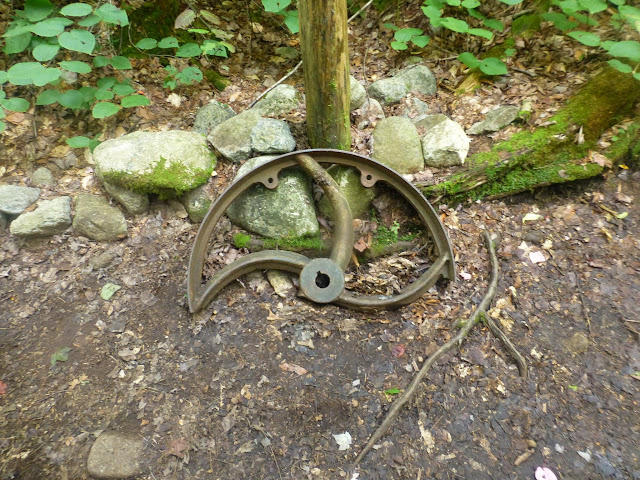 |
| Someone has placed a portion of an old wheel at the Rocky Falls trail junction. |
I let Rev off her leash at the Scott Creek Leanto and and we began the bushwhack. We now had to climb about 1600' in 1.3 miles. We didn't know if we'd be swimming in pines as we climbed, but fortunately, for the most part, the tree density was not a factor. The was some blowdown in spots, but we made good progress.
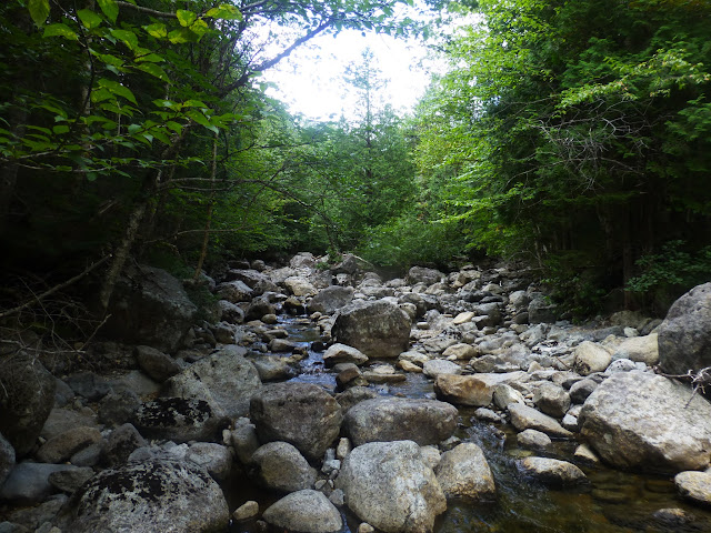 |
| Indian Pass Brook was quite low and we crossed without issue. |
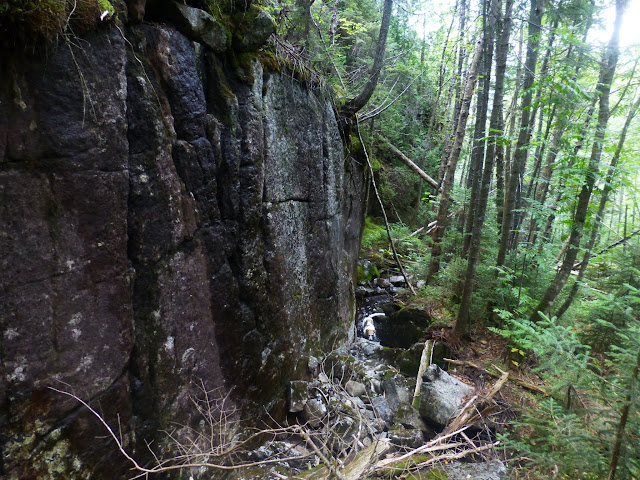
As we climbed and angled WNW, we occasionally were blocked by walls of rock. With each one we turned right and walked north along the base of rock until we were able to climb again. This seemed to work out well.
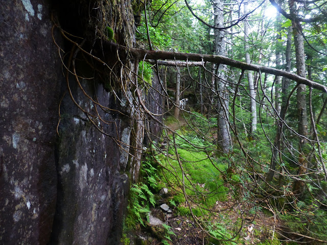 |
| One of the rock walls that blocked uphill progress. |
Near the top we realized we were too close to Lost Pond. We could see the eastern false summit to the north of us. We chose to descend a short distance and skirt north around the eastern summit.
 |
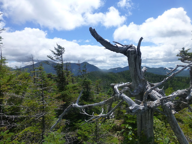
| The eastern false summit. |
To our surprise, the woods became even easier to walk through.
 |
| A bed of thick moss and ferns |
We continued to wrap around the eastern summit and found ourselves to the NE of the true summit when we found an accessible way up. Minutes later we were on the summit ridge. Still the bushwhacking was not difficult.
When we reached the summit, we did not find any evidence of old canister straps or ribbon or anything to denote the summit, but it was pretty obvious. A small area had been trampled and there was no surrounding ground that was higher.
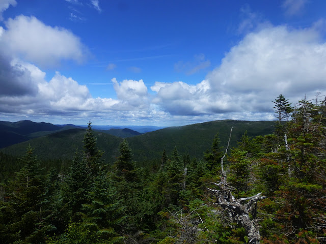
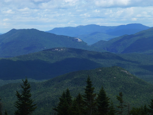
We dropped our packs and began to look around for viewpoints. There are none at the true summit. First we walked south found a ledge with views west and NW. Then we dropped down over a few rock faces to find a great viewpoint for Lost Pond Peak and the MacIntyre Range. After retracing our steps to the summit we walked east to another viewpoint on top of a small boulder. From there we could see to the East and NE.
 |
| The MacIntyre Range |
 |
| Looking NW |
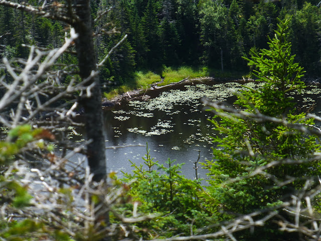 |
| Lost Pond! |
 |
| The MacIntyre Range |
 |
| Iroquois and Sheperd's Tooth |
 |
| Lost Pond with the MacIntyre Range on the left |
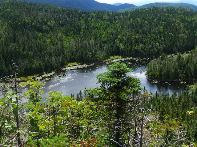 |
| Lost Pond |
 |
| Looking NE |
 |
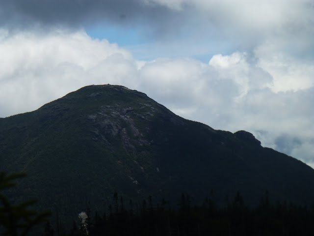
| Wright Peak and Algonquin |
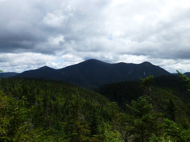 |
| Wright, Algonquin and Iroquois |
After 45 minutes of exploring the various vantages points we decided it was time to head back. By unanamous decision, we opted to head back the way we had come since it was easier than we had thought it would be.
Going down was even easier and it only took us an hour and 10 minutes to get from the summit back to the Indian Pass trail.
 |
| Rev found a watering hole at the base of a rock cliff on the way down |
It's nice when a hike ends up being easier than expected and that was certainly the case this time. In addition, the weather was perfect and Brandon finished his ADK Hundred Highest +2! We were back at the car by 3:40 and hung out for a little bit and had a beer to celebrate.
Hike Stats:
Hike Distance: 10.5 miles
Hike Time: 6 hours, 45 minutes (+ 45 minutes on the summit)
Total Vertical Gain:
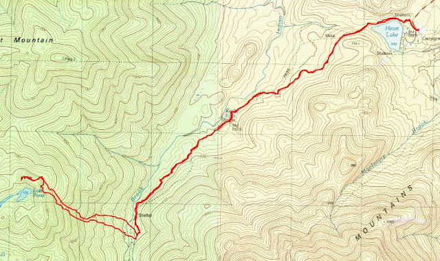 |
| The route |
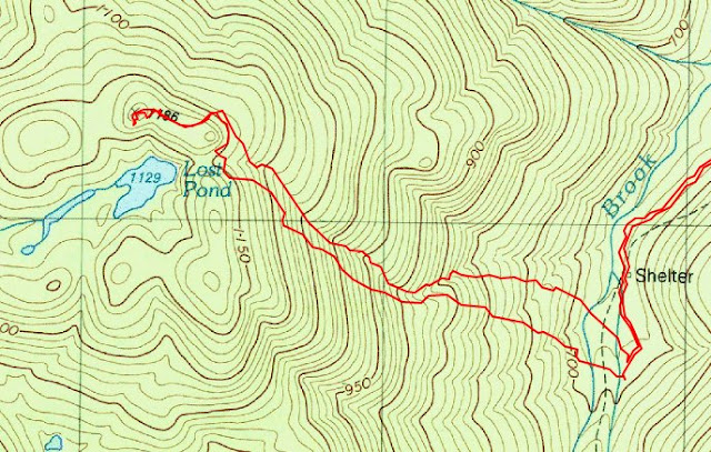 |
| The bushwhack portion of the route |
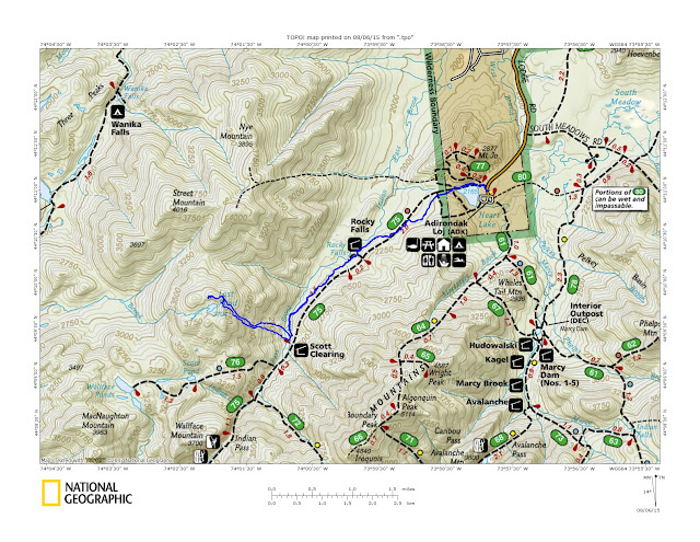 |
| The route on the National Geographic topo |


Excellent report. Looks like it was a perfect day to be in the seldom used woods on that side of Indian Pass Brook. We are planning for this exact hike in a few days and much appreciate your maps. Thanks for posting and hopefully saving us a pint of blood vs. going via a thicker route.
ReplyDelete-DaveB
Good luck. I hope you fare as well as we did!
DeleteThanks for your post, maps and pics! I'll be trying the hike this week.
ReplyDeleteEnjoy and good luck!
Delete