Today I wanted to find a hike with views, but I didn't want to get high enough that I would have to deal with soft melting snow. I was worried that it would be hard on my dog if she kept sinking in deep soft snow.
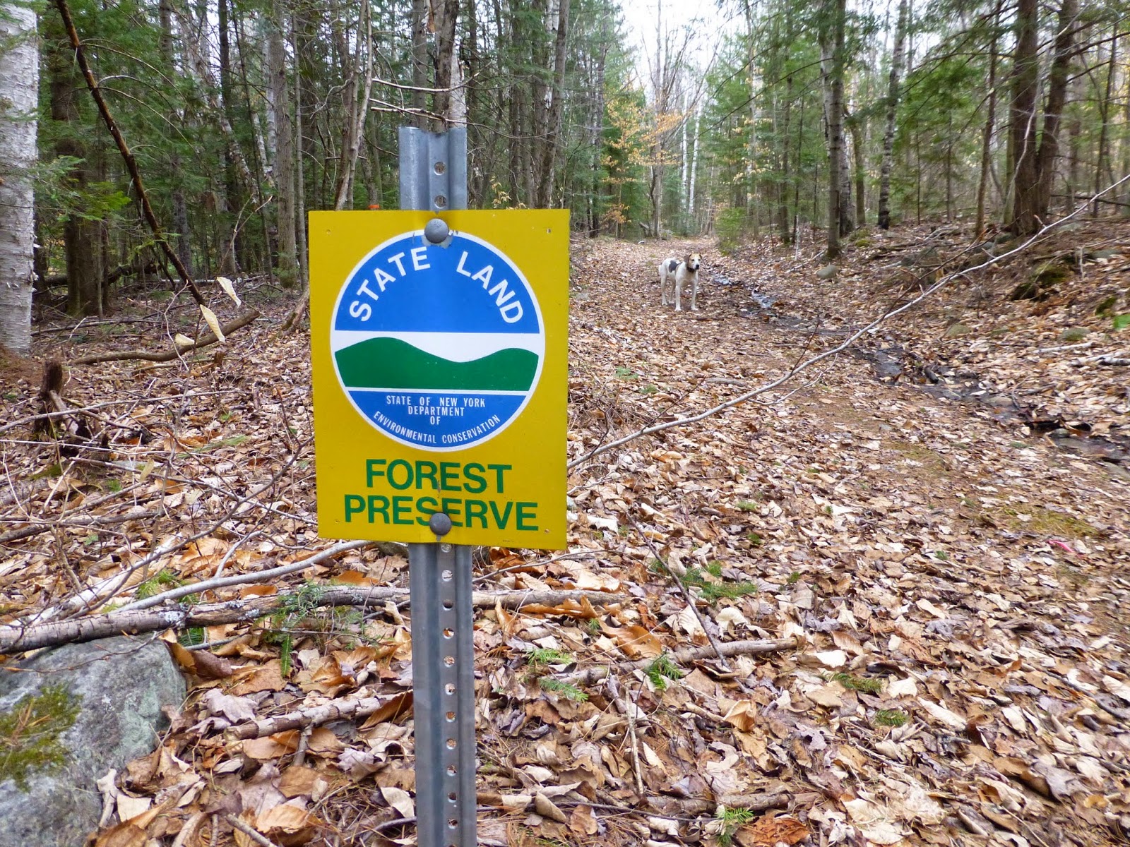
I came up with the thought of climbing Iron Mountain in the Giant Mountain Wilderness from Route 9, just north of New Russia. State land touches the road at that point and there is a pull off on the west side of the road there. I didn't see a state land sign by the pull off, but there was one just to the south and there were no posted signs. I was sure I was in the right spot.
There is an old logging road that leads into the woods from that point. I headed SW following the logging road. It quickly turned NW near a waterfall. There was a main trunk road and lots of old side roads. I stayed on the primary road for .9 miles at which time I reached a drainage coming from the col between Iron Mountain and the rock ledge I wanted to visit.
 |
| A waterfall behind ice near the road |
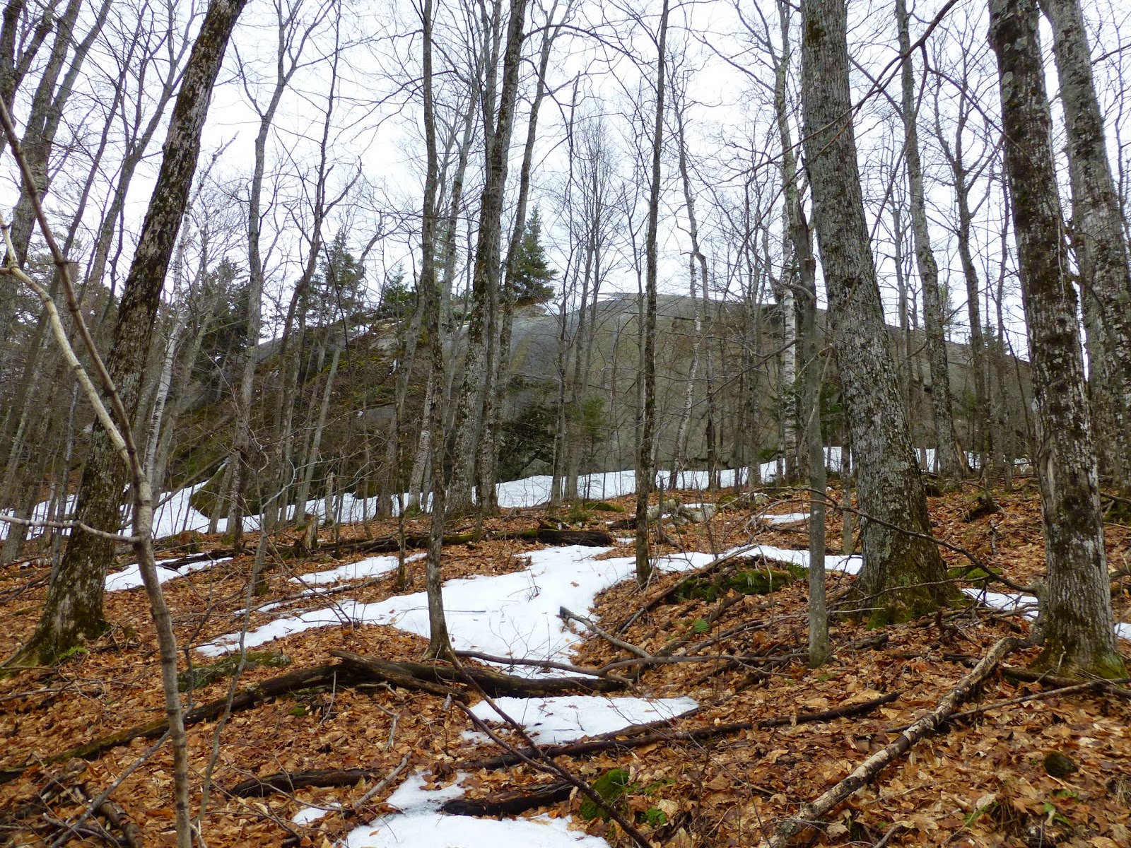
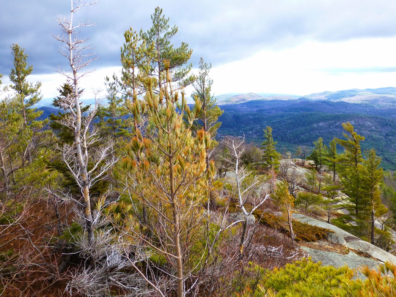
At this point I turned SW again following the drainage. The woods were open, and with no leaves on the trees, I could now see that the drainage was indeed leading me right to where I wanted to go. Soon I could see the open rock that is shown on the topo map. The rock was huge! It reminded me of the slab on Hopkins Mountain in Keene Valley.
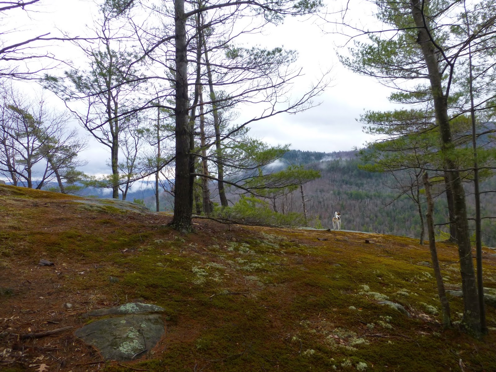
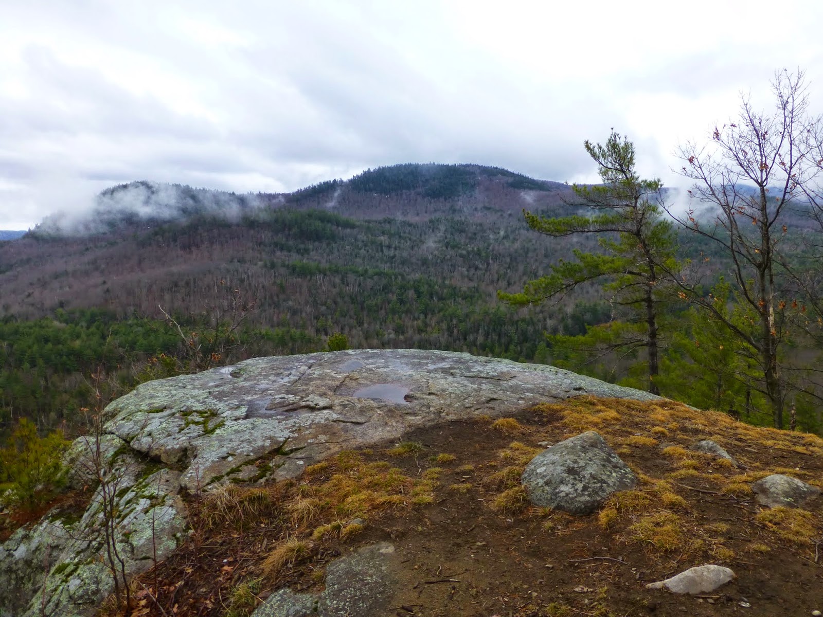
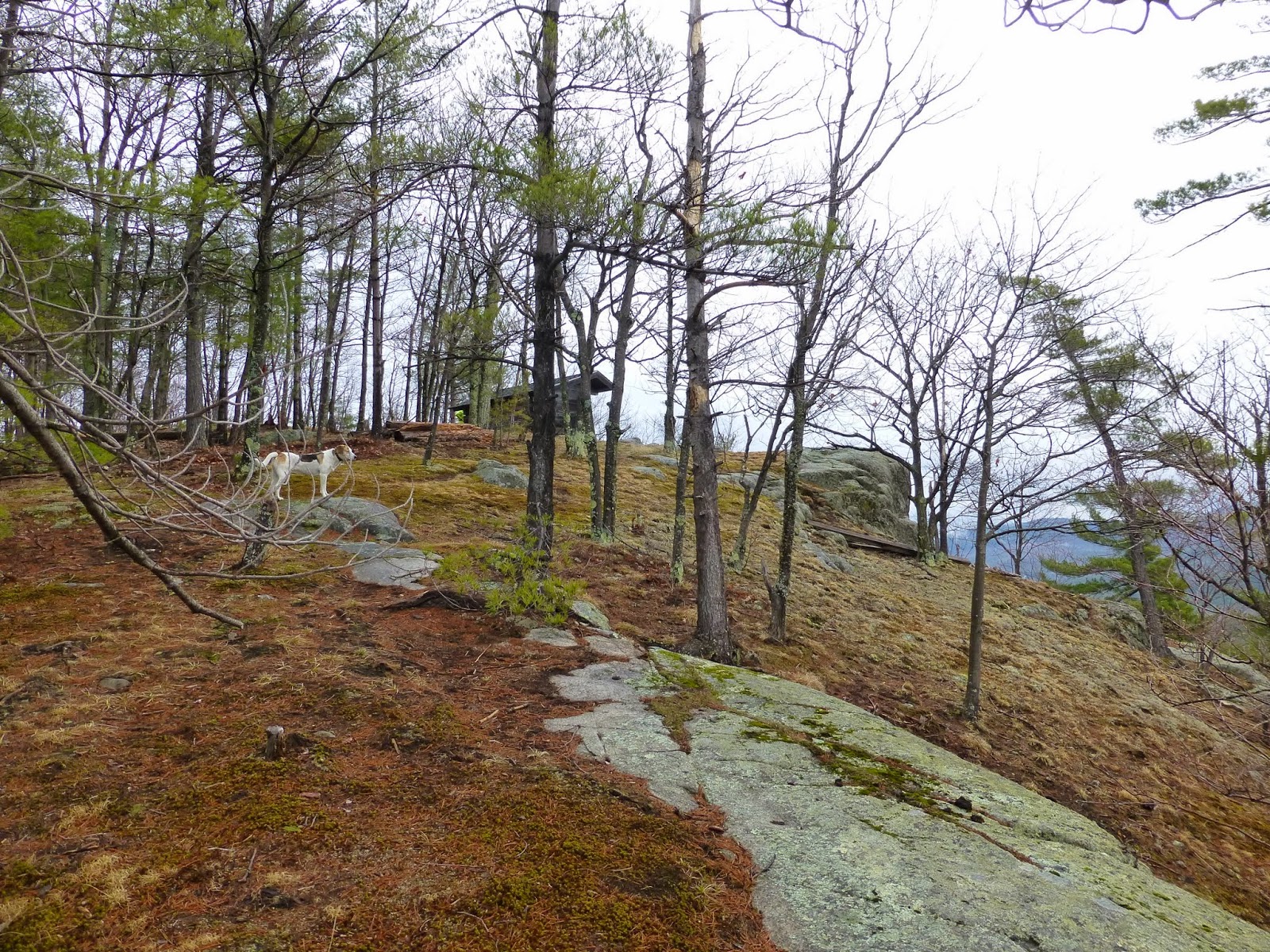
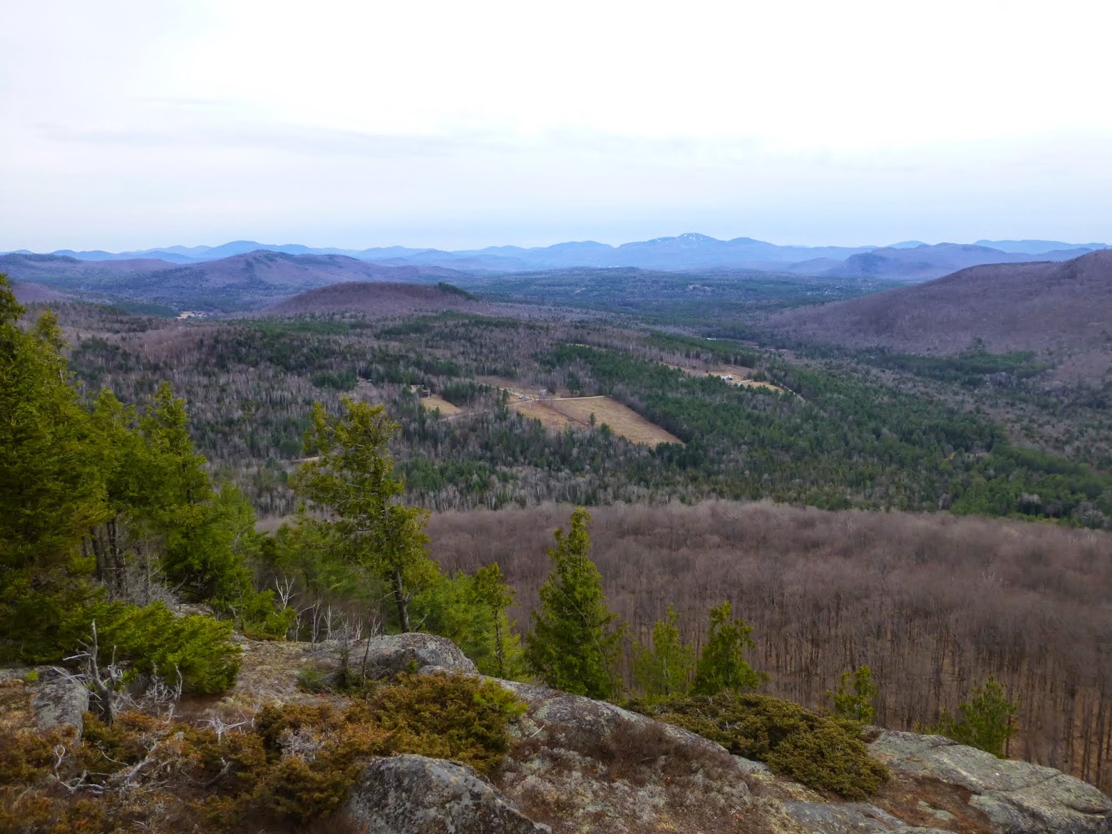
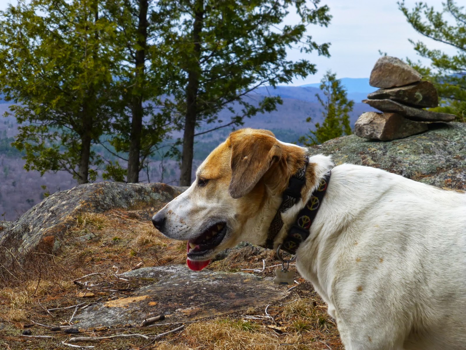
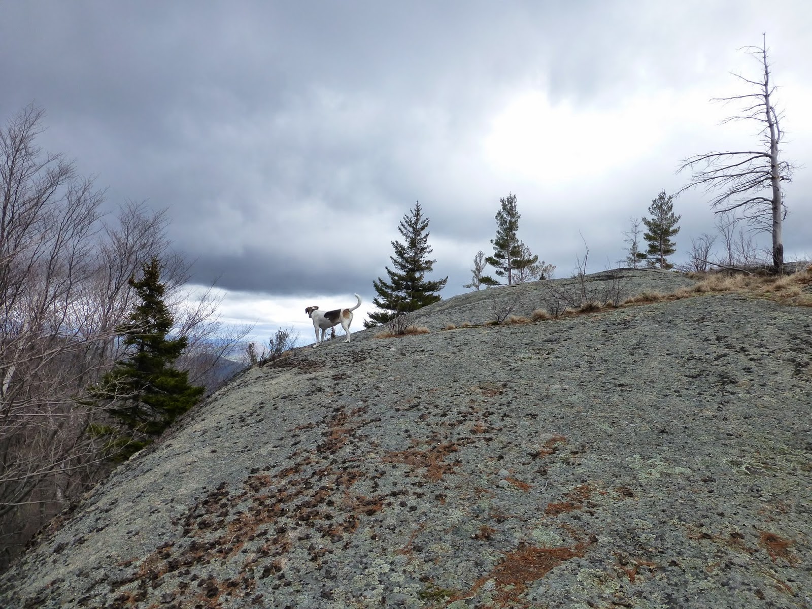
Rev was the first to reach the top. She roamed all around as I took too many pictures. There were great views of Bald, Rocky Peak Ridge, Giant and Green Mountains.
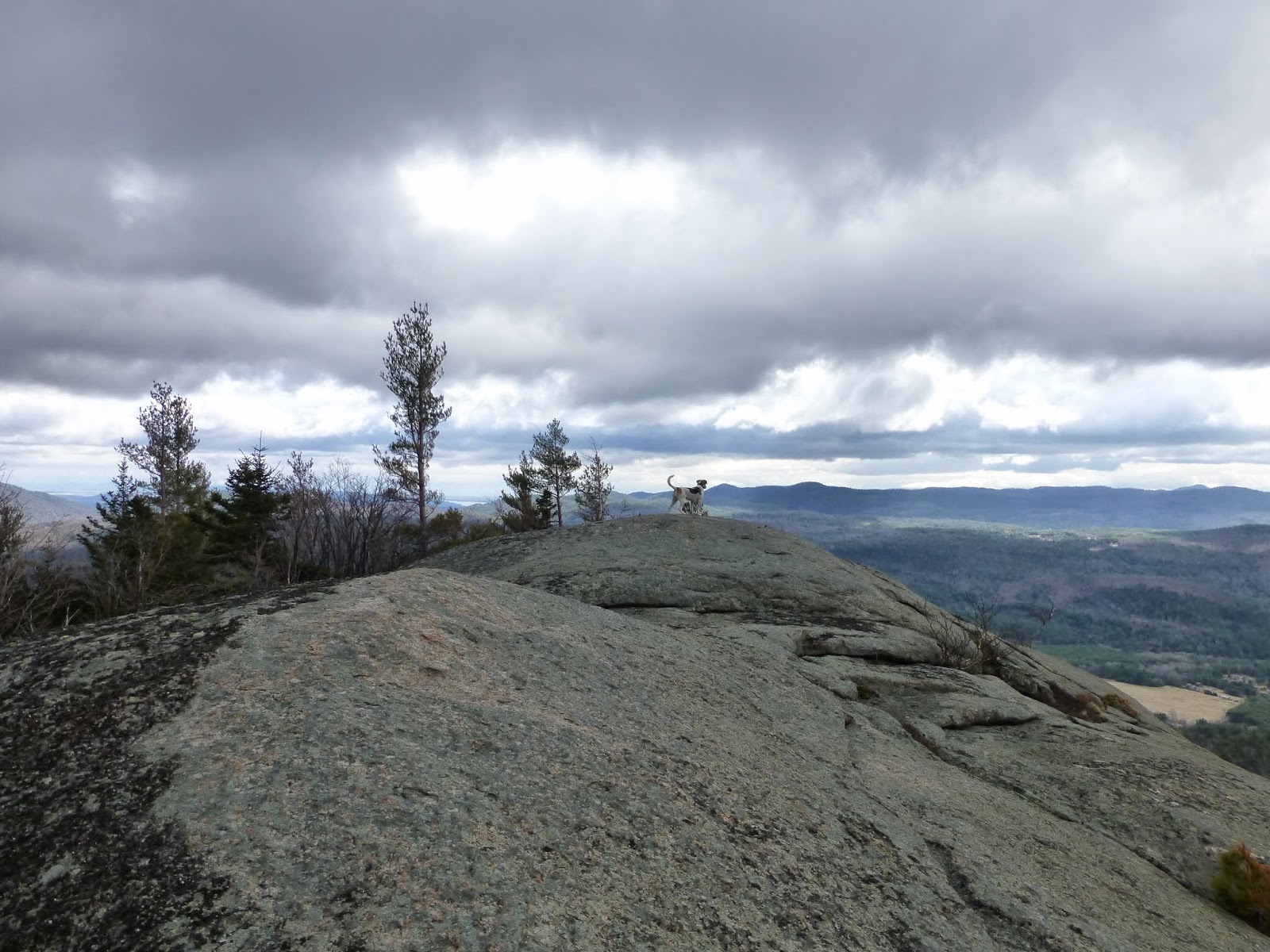 |
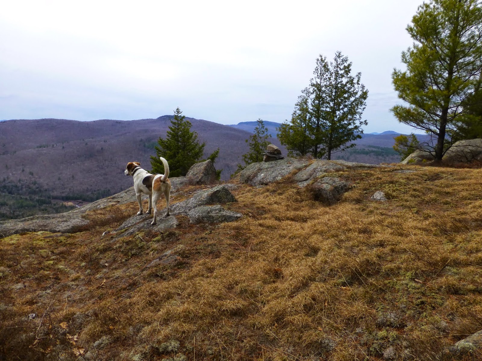
| Rev standing near the old survey station bolts on the open ledge |
On this open summit I find the old survey station bolts that I had heard were at this location.
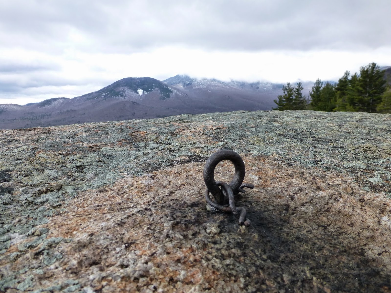 |
| An old survey station bolt |
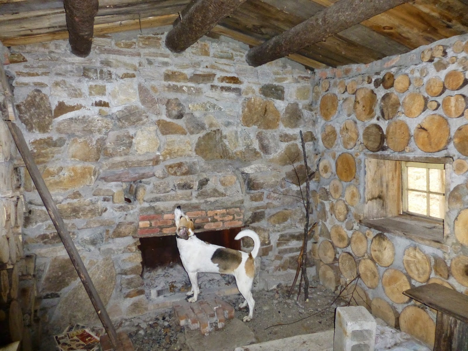
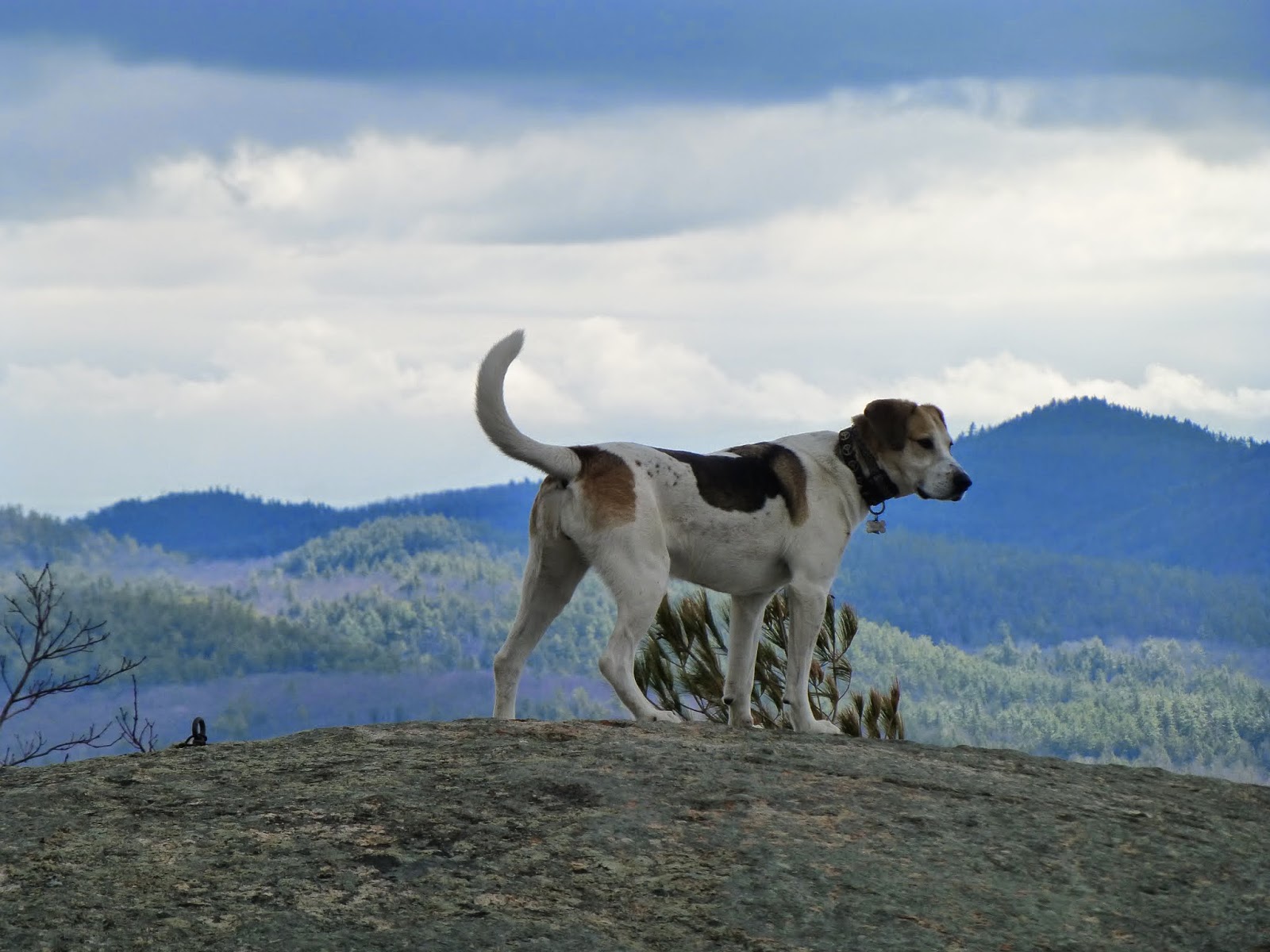
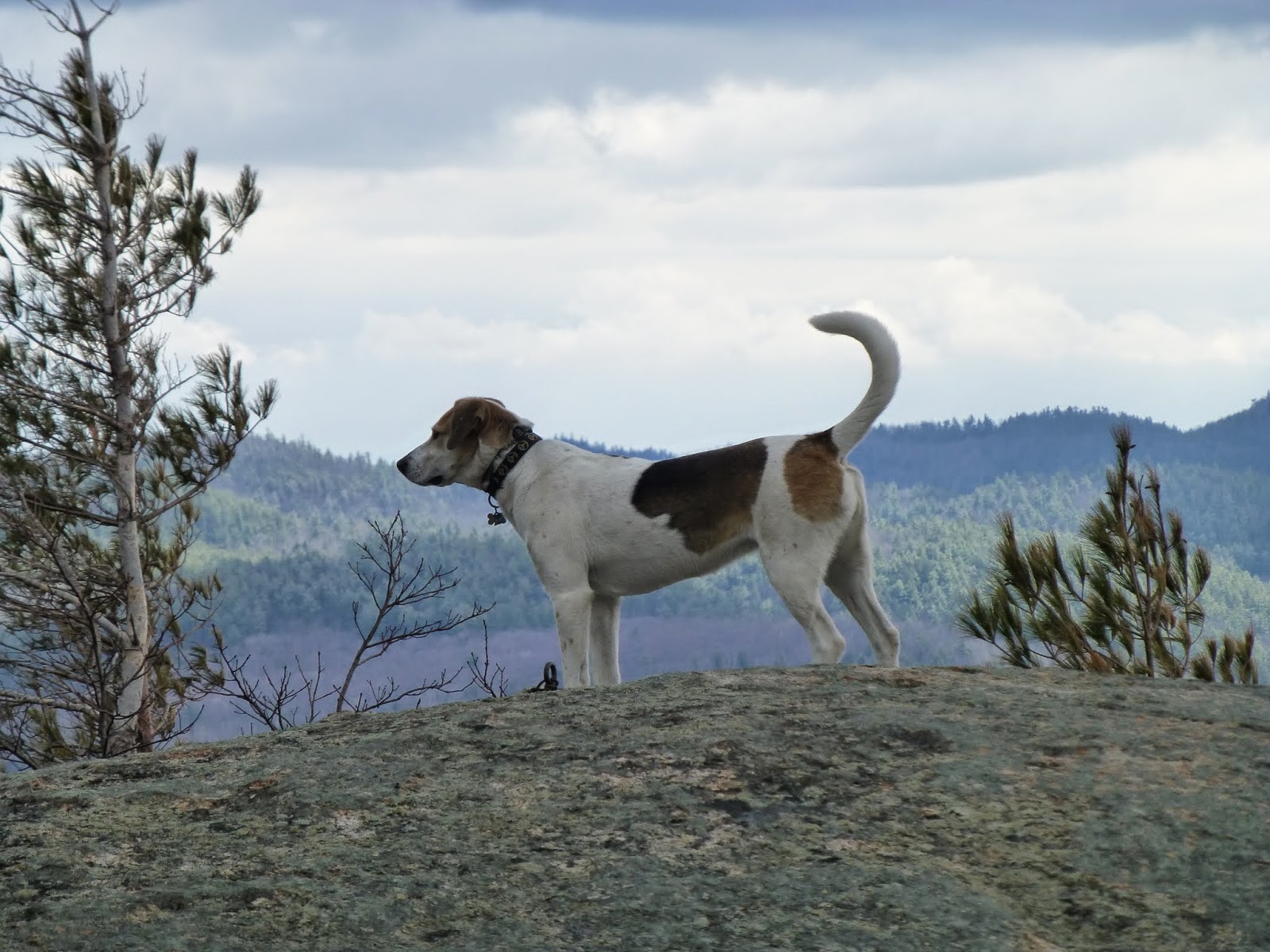
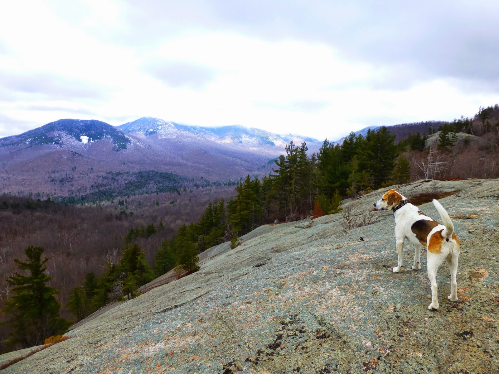
Rev continued to be curious about everything and I took some shots of her.
 |
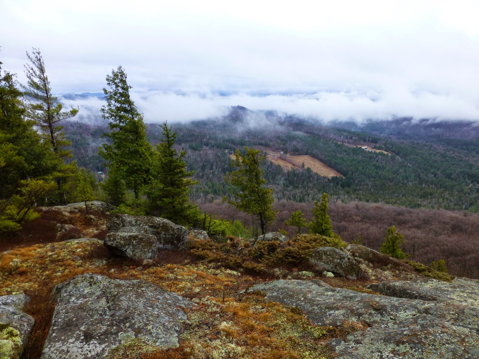
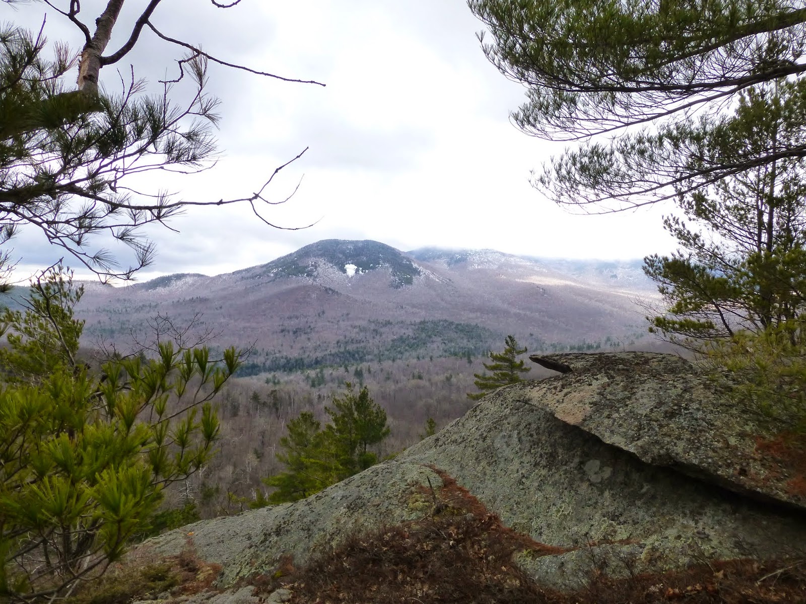
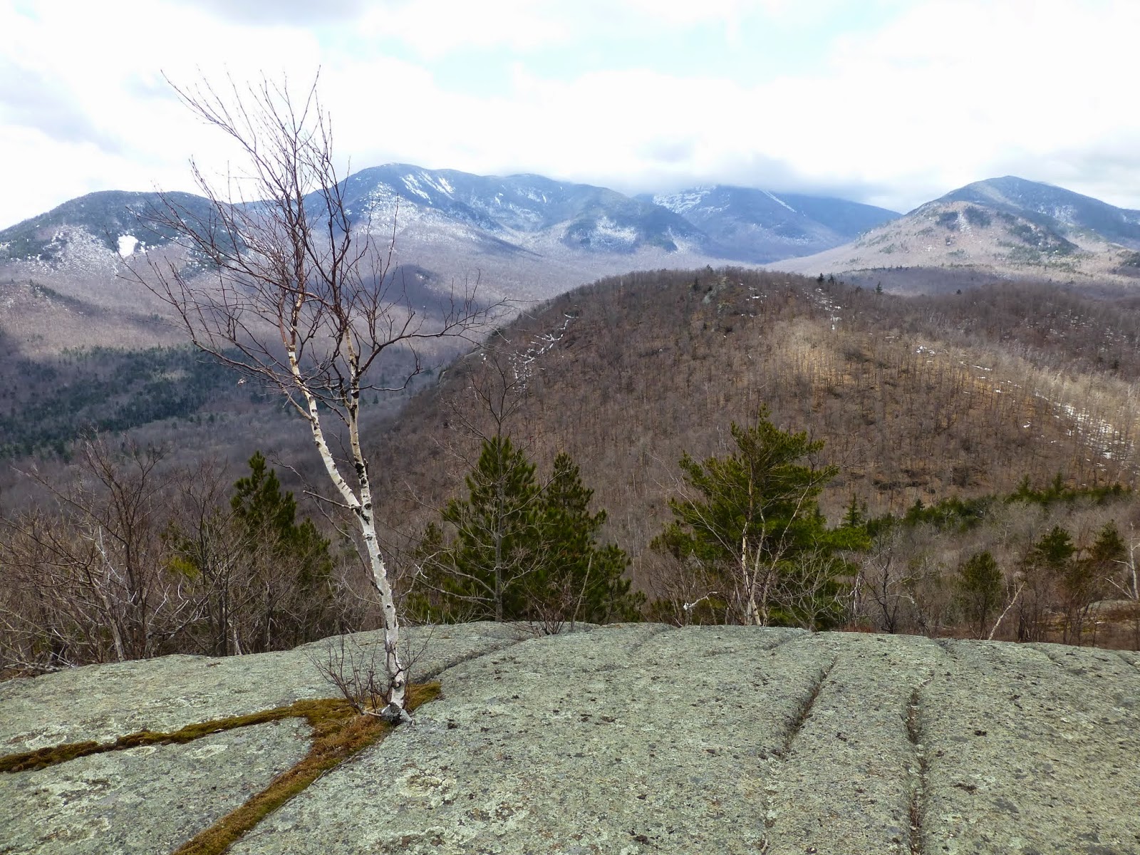
| Bald Peak and RPR. Giant is in the clouds |
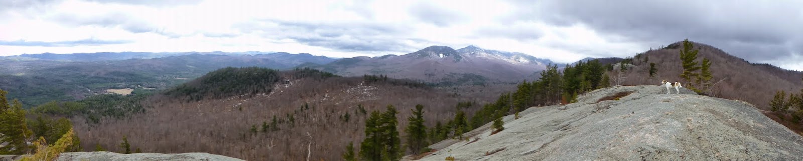 |
| Panorama |
 |
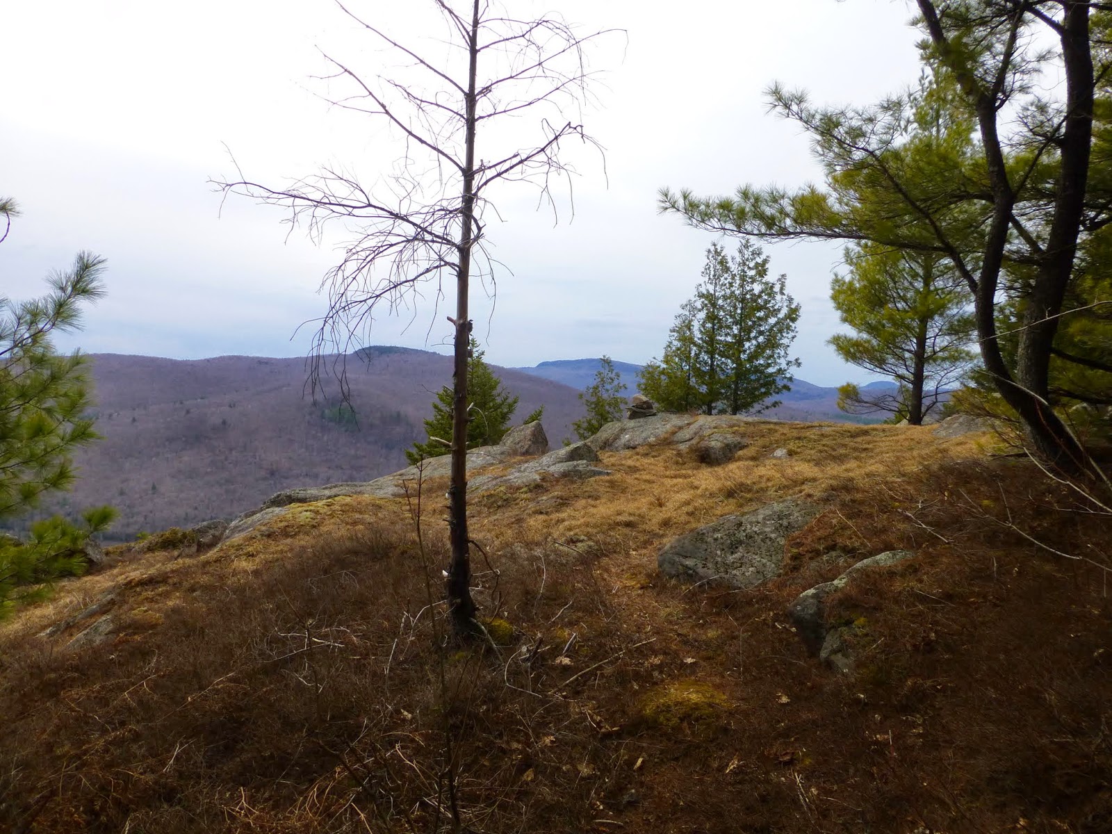
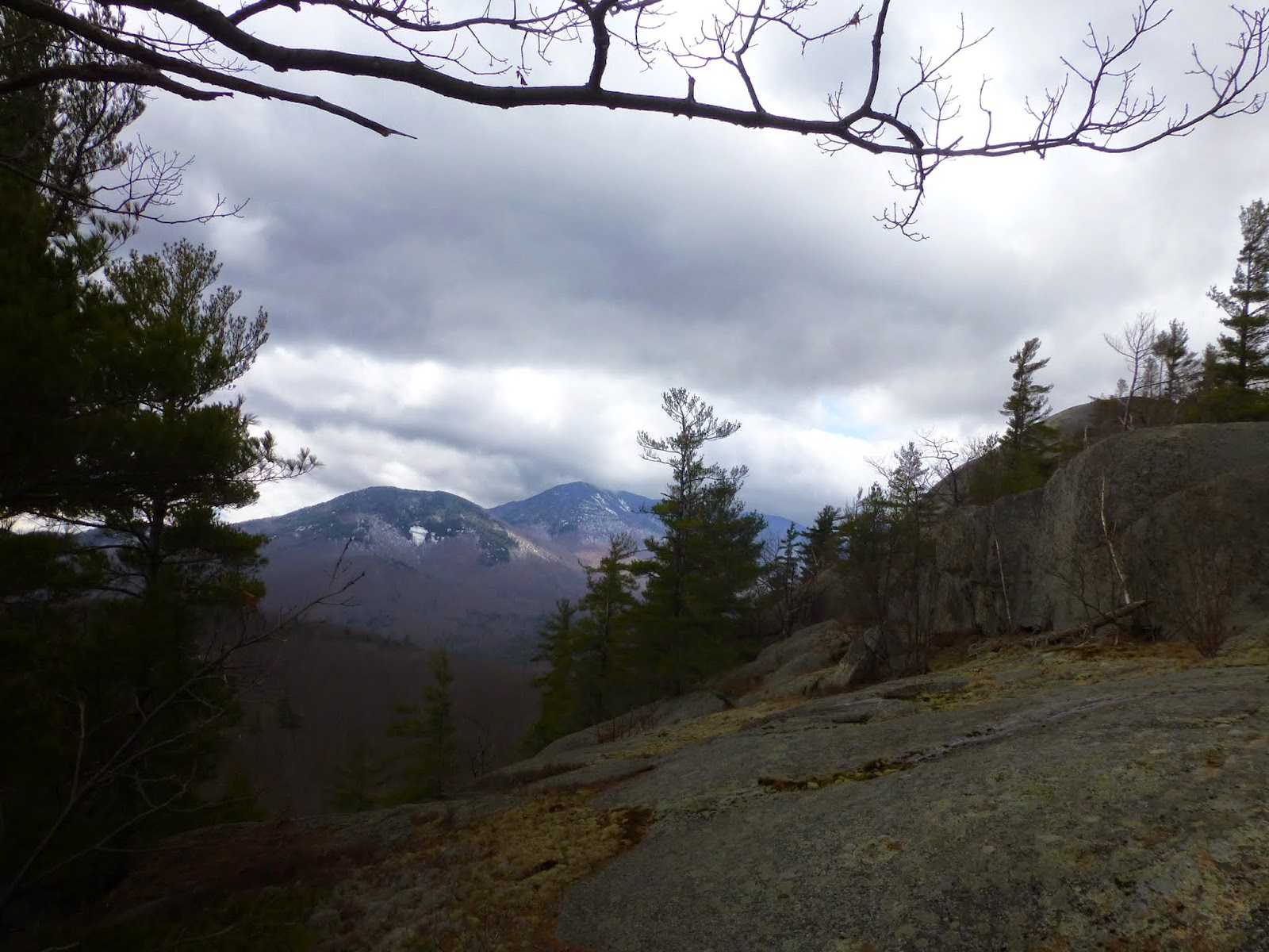
| The summit of Iron Mountain in the distance |
I just kept taking pictures of Giant and RPR. I knew I'd probably delete most of them, but you never know which ones will be the keepers. I left a few here below even though they're somewhat similar.
 |
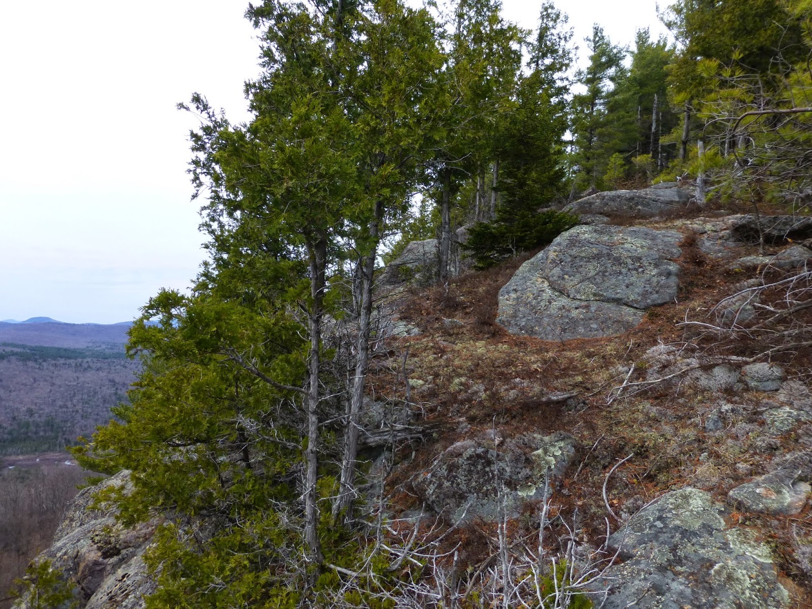
| Looking east from the open ledge |
 |
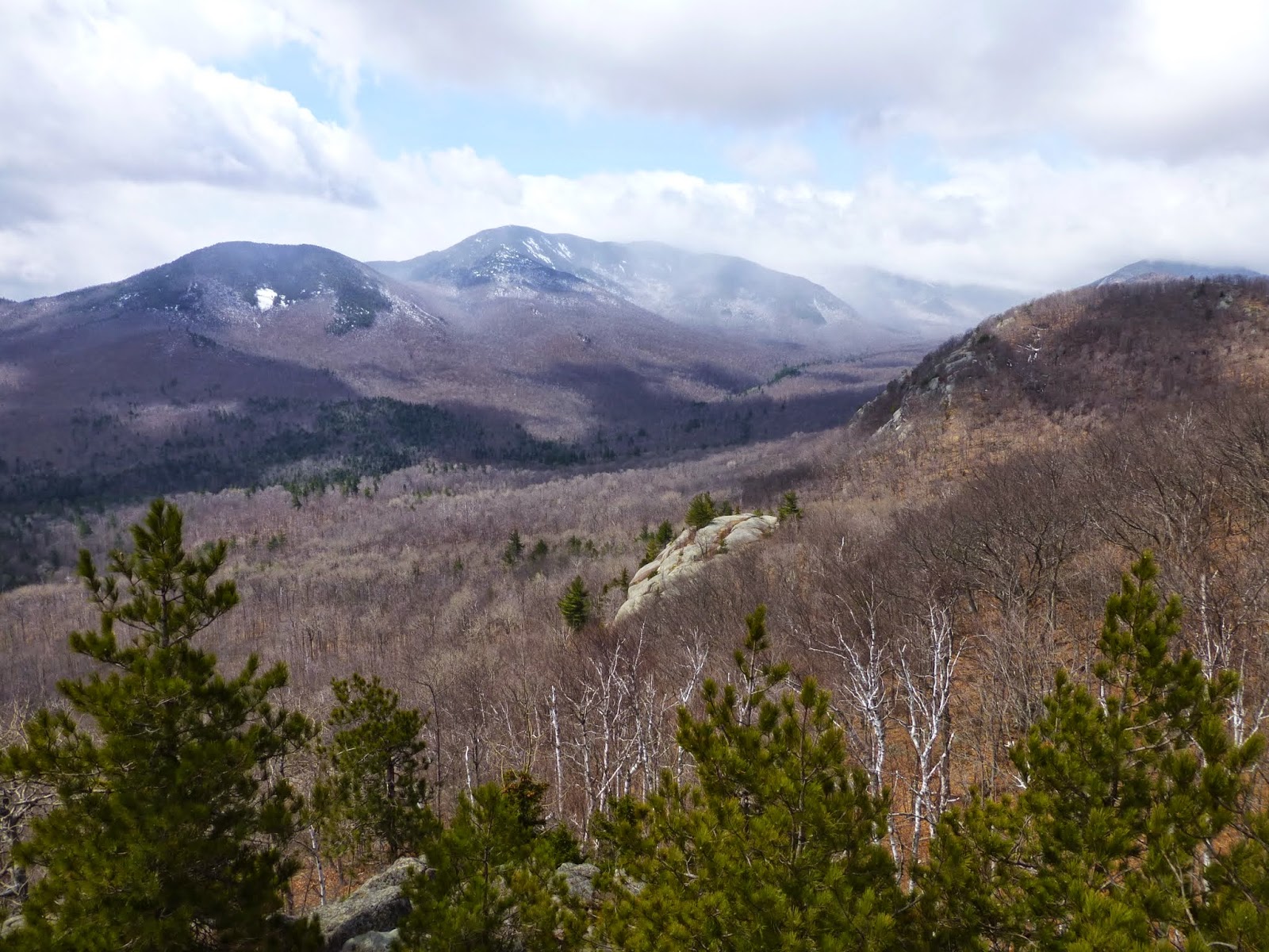
| Bald, RPR and Giant from the second open rock |
 |
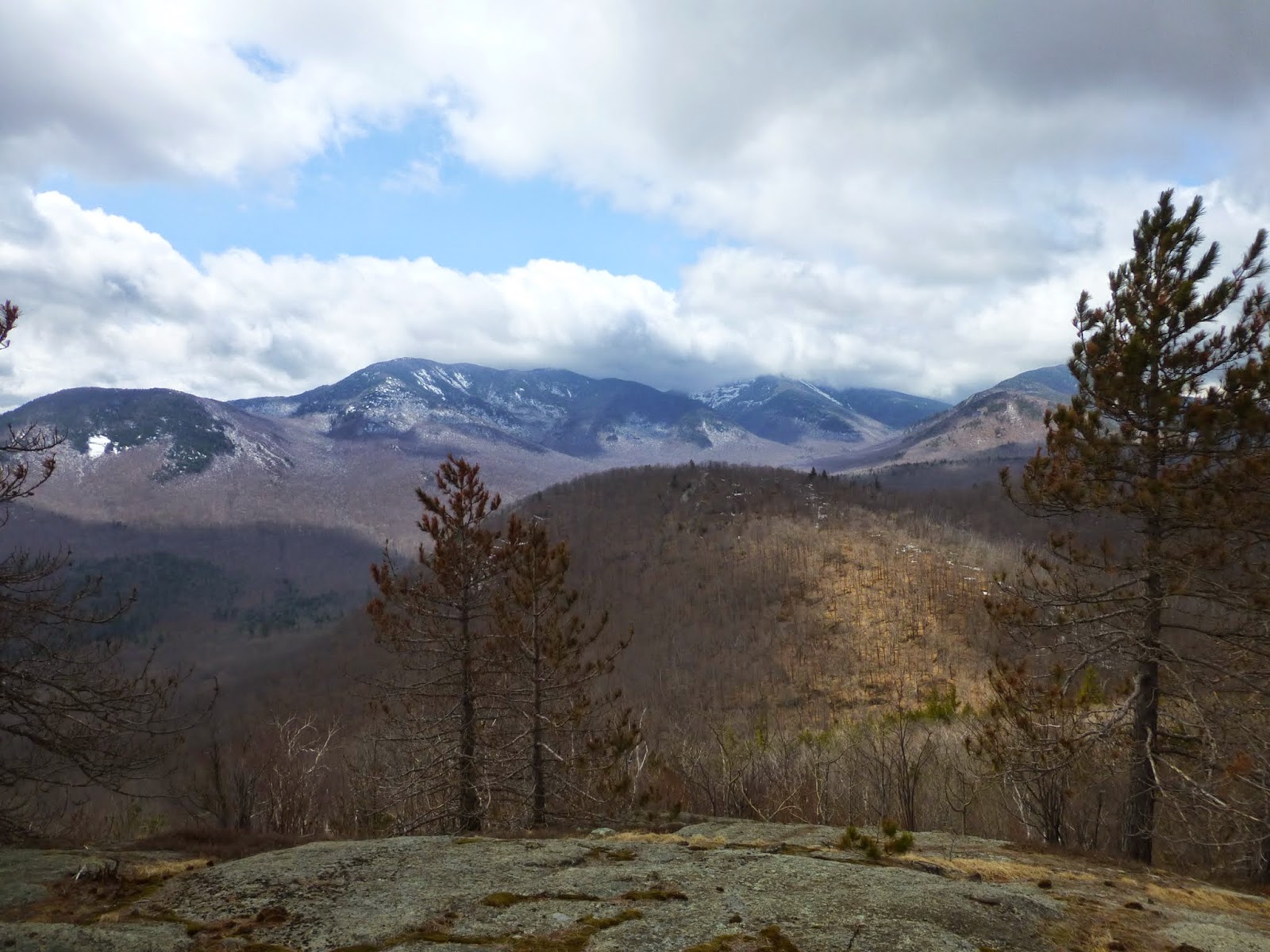
| and the view from the summit of Iron Mountain |
It had only taken one hour to reach the open rock, since it was only 1.5 miles from the car. It took me another hour to reach the true summit (since I was taking so many pictures). Also Rev and I had eaten lunch on the 1st open rock.
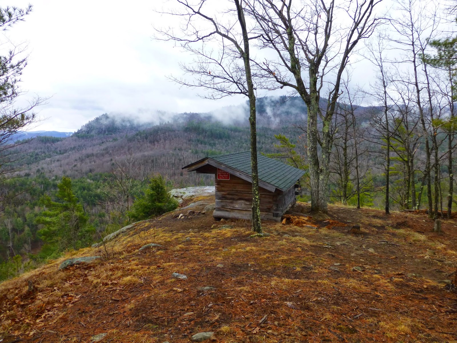
This really was a nice summit and it felt quite remote even though the hike was short. I could have continued on to Owl Head Lookout, but I had other plans for later in the day.
I'll be back to this location for sure. It's a nice place to bring someone that wants a great view without a whole day effort.
Hike Stats:
Hike Distance: 4.7 miles
Hike Time: 3.5 hours (including stops)
Total Vertical Gain: ~ 1900'
Iron Mountain Summit Elevation: 2451'
 |
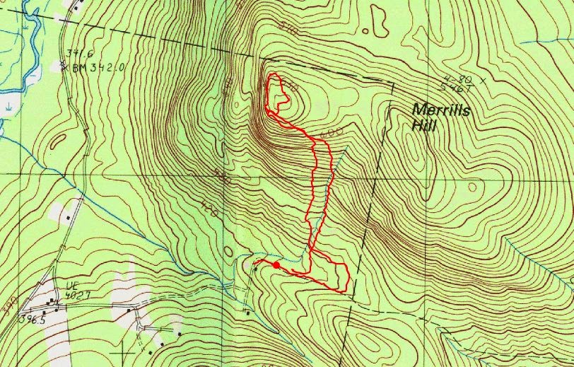
| The route (click image to enlarge) |
 |
| A map of the general area |