Lake George

Lake George
Lake George - from Tongue Mtn Range - 11/11/2011

Monday, January 27, 2014

Flowed Lands and the Herbert Brook Lean-to - High Peaks Wilderness, 1/26/14

Plan A for Sunday was to attempt to climb Hoffman Mountain in the Hoffman Wilderness via the Big Pond Trail from the south.  The extreme cold wind chill caused me to reconsider.  Hoffman is a long bushwhack and I decided I should save it for a day with no severe weather. 

What I decided to do instead was hike from Upper Works to Flowed Lands to check on my adopted lean-to at Herbert Brook.  I would also possible do a little exploratory hiking in the vicinity of Calamity Mountain.

I arrived at Upper Works at 9 AM and expected the parking lot to be at least half full.  I was surprised to find only one car that had just arrived.  Just getting out of the car was a couple that were headed for Mount Marshall.  While they were getting there gear together, Rev and I headed down the trail. It was -4 degrees F but the wind didn't feel bad at all. 


First look at the McIntyre's

The re-routed section of the Calamity Brook Trail

We moved briskly to stay warm and we reached Calamity Pond and the David Henderson monument in an hour and 15 minutes.  At this point, I decided to explore the area around Calamity Mountain and headed east towards the northern shoulder of the Calamity Mountain ridge.

The going was tough.  The trees were dense and the blowdown made it slow going.  I did get some glimpses of the McIntyre range.  My toes started to get cold because I wasn't moving very fast.  The true summit of Calamity would be saved for another day.


The McIntyre Range from the northern end of the Calamity Mountain ridge

Change of course needed!


I got covered in snow moving through this forest

I made my way back to the Calamity Brook Trail, shook myself off and continued on to Flowed Lands.  The ice was solid so Rev and I made our way across.  When we reached the Opalescent River, I wasn't so sure about crossing it.  There was broken up ice that had refroze.  I could see the remains of tracks crossing the river, but I wasn't comfortable with the feel of the ice so I turned back to take the trail around Flowed Lands.
  

Some 5 foot icicles

Our turn around point at the Opalescent River

Mount Colden framed between the trees

A classic panorama of Flowed Lands and Mount Colden 

While I was on the trail around Flowed Lands, I noticed I had lost one of my Hillsound Trail Crampons.  I backtracked a few minutes, but didn't see it.  I never did locatedit so it probably came off while I was bushwhacking.  I'll do my best to locate it on another trip.

Soon I was at the Herbert Brook lean-to.  Things looked good at the lean-to.  The sun was doing it's best to warm the area.  It felt nice.


Herbert Brook lean-to

All quiet

My tracks on Flowed Lands


Algonquin from Flowed Lands 

Rev... perhaps wanting to climb Colden?

Next, Rev and I walked around the southern end of Flowed Lands to the Opalescent lean-to and the Griffin lean-to.  The person I saw out on the trails all day was a DEC person (Jim) heading for the Interior Outpost at Lake Colden to spend 5 days in residence there.  I want that job!


Flowed Lands (Opalescent) lean-to


Griffin lean-to

It was now 1:30 and clouds were quickly coming in, as was forecast.  Rev and I watched the changing skies as we made our way back around Flowed Lands.  I'm always sad to be heading away from this area, it's just a magical place. 
  

Even with clouds, this is an amazing view


A last look for today


Avalanche Mountain and Mount Colden
3:30 found us back at the car and headed home ending another weekend in the ADK's.


Hike Stats:
Hike Distance:  13.4 miles
Hike Time:  6.5 hours
Total Vertical Gain:  ~ 1800'  

My approximate route


Sunday, January 26, 2014

Springhill Pond Trail - Pharaoh Lakes Wilderness - 1/25/14

One of the things I have done as I've hiked in the Adirondacks is to highlight trails on my maps after I've hiked them.  Sometimes when I'm choosing a  new hike, I pull out these maps and look to see what trails I haven't hiked yet.  That was the case on this snowy Saturday.  I didn't want to drive too far and I looked to see what was close by that I hadn't done.

The Springhill Ponds trail lies at the eastern end of the Pharaoh Lakes Wilderness.  The trailhead is at a small parking lot on West Hague Road.  Leesa and I chose to hike this trail, knowing that with the snow coming down, we wouldn't have any visibility.  In fact, the weather was almost identical to my hike the previous weekend to Catamount Mountain in the Lake George Wild Forest.


This trail shares a trailhead with the Berrymill Pond Trail.  At approximately 1/4 mile the two trails split with the Springhill Pond trail going left and the Berrymill Pond trail going right.  Soon afterwards, the Springhill Pond trail begins a relatively gradual 800 foot climb.   


This trail is ski-able for an intermediate level skier.  There were a couple trees down that a skier would have to go around, otherwise the trail is fine. 


After the 800' climb, the trail follows the southern ridge of Ellis Mountain.  Along this ridge, we were exposed to some wind which quickly blew snow into our tracks after we passed through.   Although the ridge held some sparse conifers, most of this trail goes through hardwood forest.

The trail at various points follows an old woods road and signs redirect hikers at two different locations.  


  Springhill Pond is reached via a spur trail which unfortunately is not signed.  It is somewhat obvious, but can be missed if you are not watching the surroundings.  The spur does have red trail markers.  It is a short spur of less than 1/2 mile.

We reached the water's edge to find a snow covered canoe.  The pond of course was covered by snow and ice.  We did not walk out onto the ice, but stood and took a few pictures.  It's hard to envision what this pond would look like in the summer when seen covered in white.  Still, it's nice to get out for a walk on a snowy day.


A zoom view of the far side of the pond


Part of the old woods road followed for part of the this hike

Hike Stats:
Hike Distance:  6 miles
Hike Time:  3 hours
Total Vertical Gain:  ~ 1300 feet


The Springhill Pond Trail


Springhill Pond Trail on the National Geographic map


Monday, January 20, 2014

Catamount & Bloomer Mountains - Lake George Wild Forest - 1/20/14

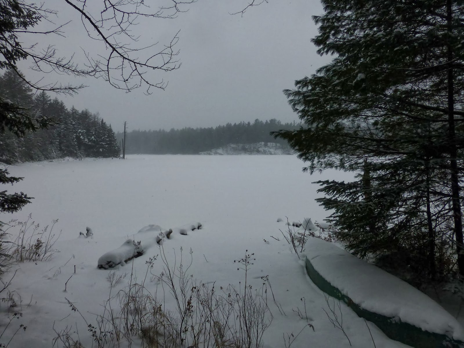
I had planned a bigger hike today, but I didn't get started as early as I would have liked an it was snowing pretty good.  I came up with an alternate plan to do a bushwhack hike in the Lake George Wild Forest.

I had never explored any of the LGWF north of Route 9N in Hague, with the exception of Jabe Pond. I parked at the northern terminus of the Tongue Mountain Trail, but instead of following the trail south, I began a bushwhack to the north.

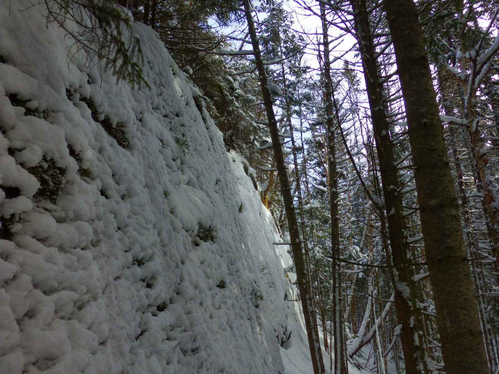
Within minutes, the cliffs of  Bloomer Mountain were in my face.  I worked my way west to get to an easier way up the face.  I had plotted out a tentative route and I was able to follow it for the most part.

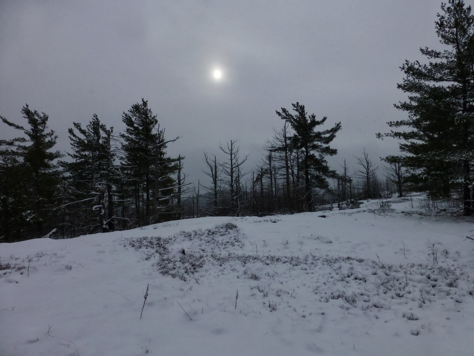
As I got near the top of Bloomer Mountain, it appeared that the sun was going to come out, but it was not to be.  It only took 40 minutes to climb the .8 miles to the top of Bloomer. 


Nondescript summit of Bloomer Mountain


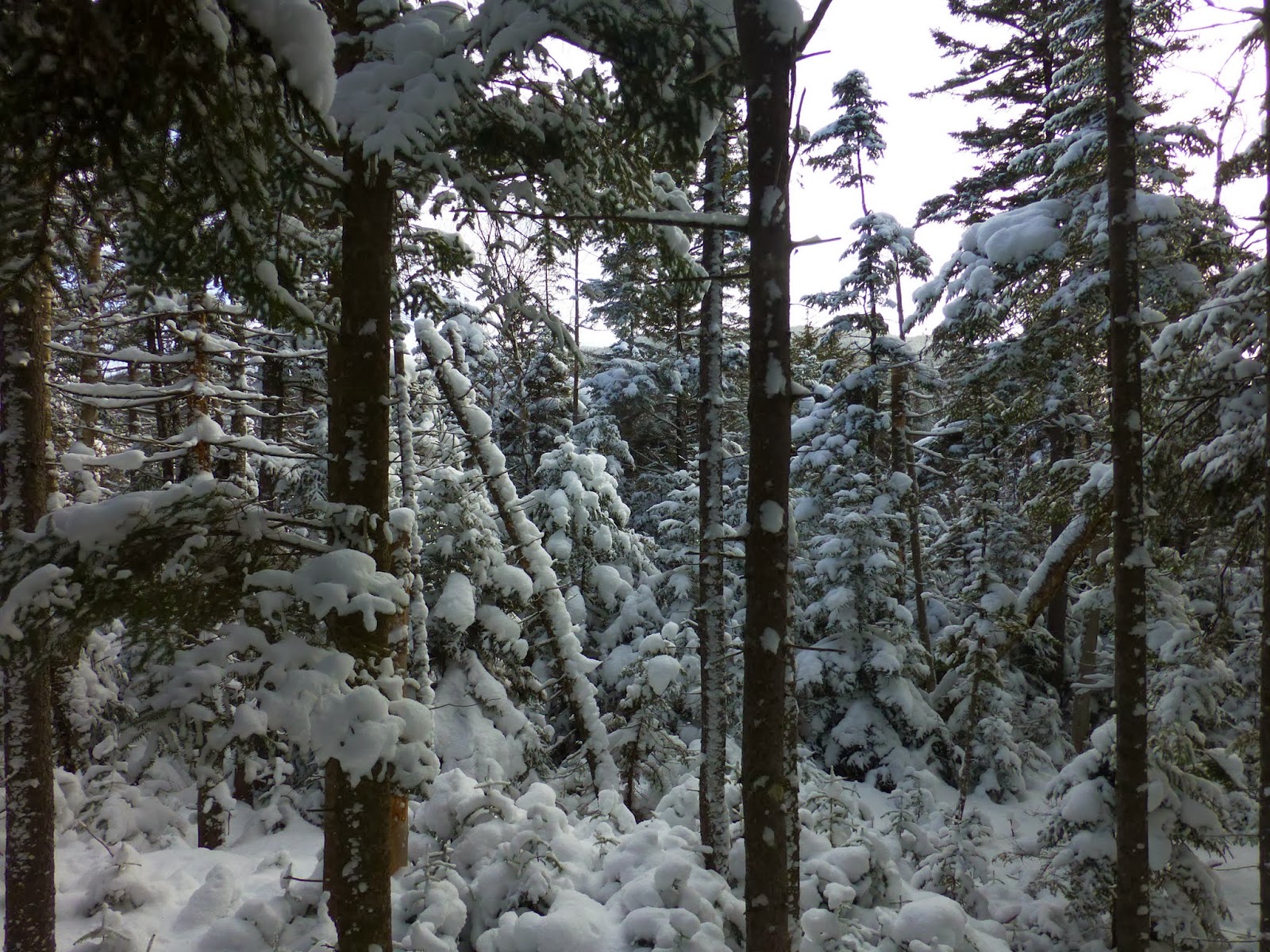
From Bloomer, I dropped over the NW shoulder to head for an un-named hill.  This was the toughest part of the day.  I descended a fairly steep slope in a dense section of forest.  The rest of the day I was able to bypass any blowdown or dense growth.

On the un-named hill, Rev and I saw a pair of deer and we watched them for a few minutes before they decided to put a little more distance between them and us.  We saw several more groups of deer later in the day.  There were a lot of tracks almost everywhere we went.

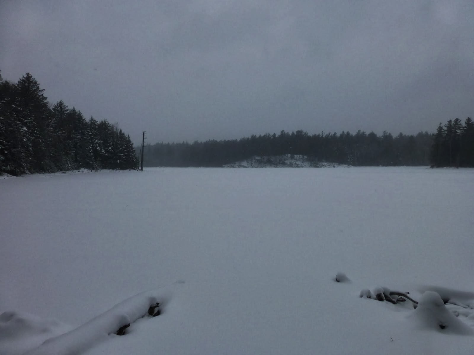
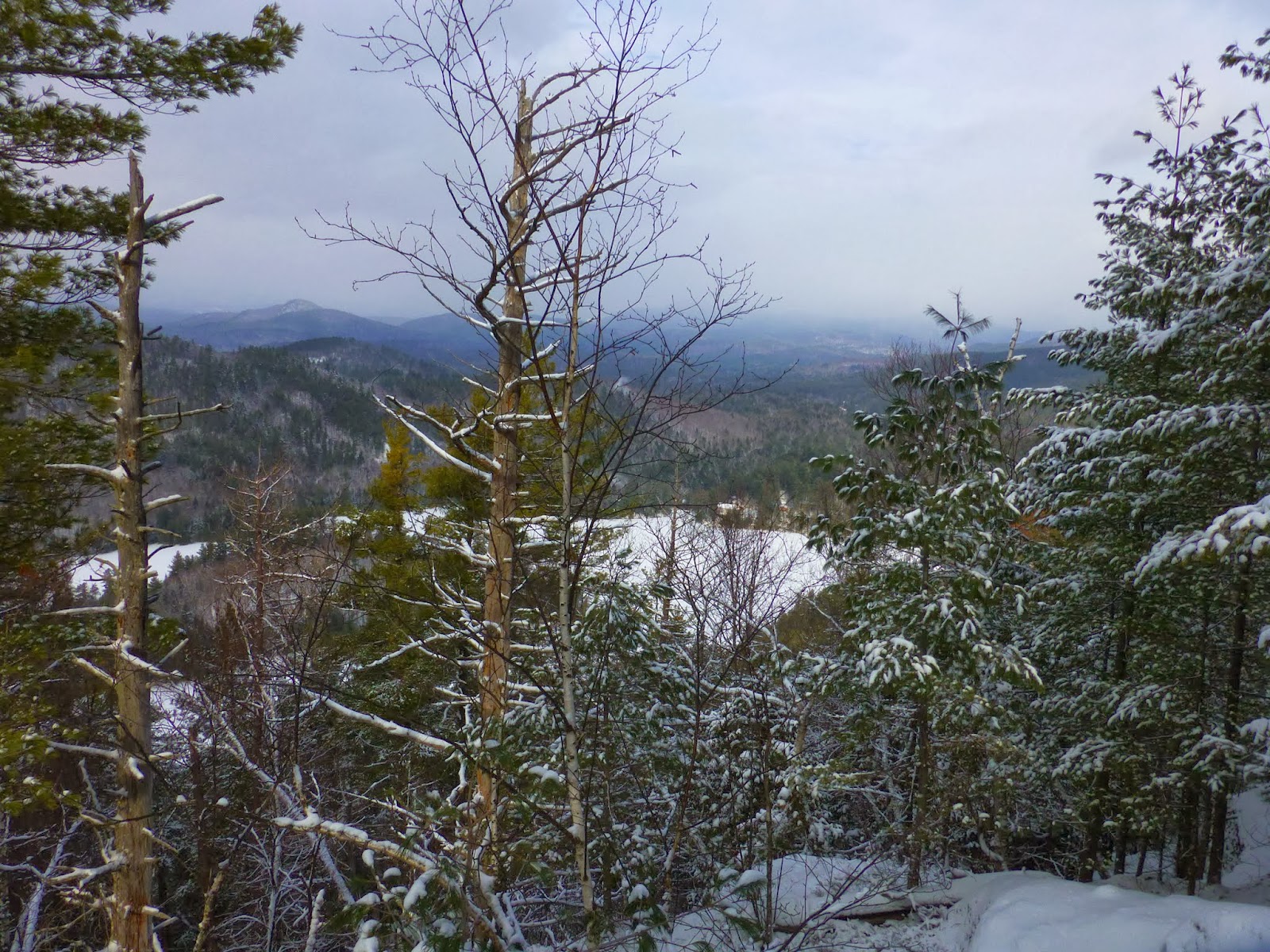
In the lowland beyond the hill, I was able to cross a frozen beaver pond, then began to climb Catamount.  It was a thousand foot climb from the beaver pond to the summit.  The snow cover on the ground ranged from about 4 to 6 inches and it snowed 2 inches while I was out.

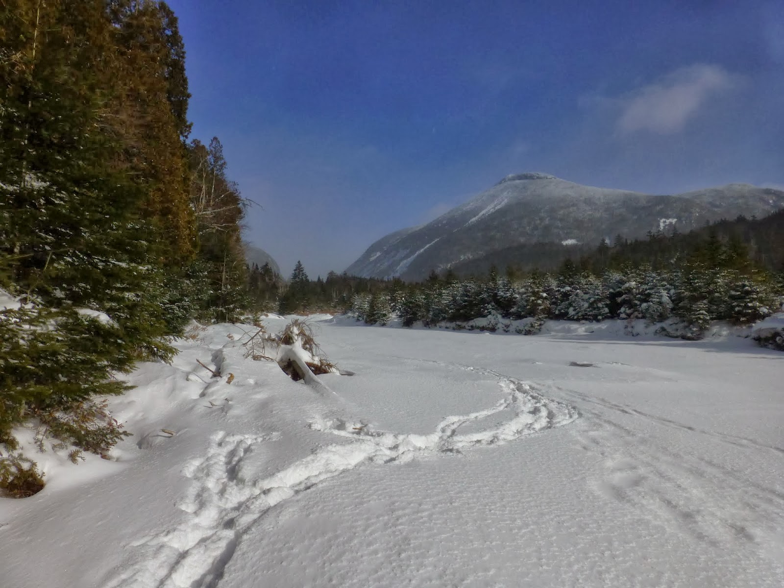
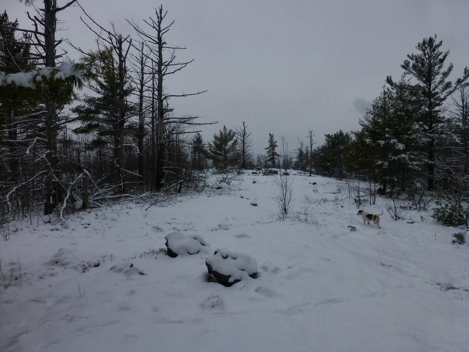
With the snow coming down, I had no visibility for most of the day.  I reached the summit of Catamount and couldn't see anything down below.  In any case, it was a good time to stop for some food.  I added a layer, since I was hiking in a short sleeve shirt and a shell.  It was about 30 degrees, but the was a moderately stiff breeze that made it feel colder. 


Summit of Catamount Mountain


Panorama of Catamount


Rev on Catamount
 
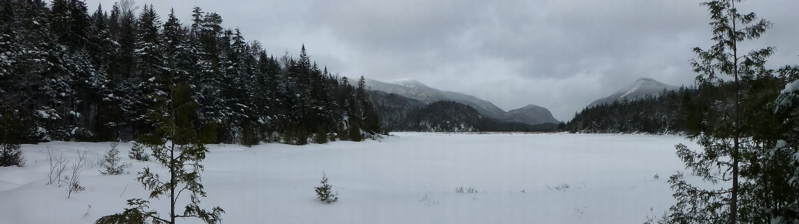
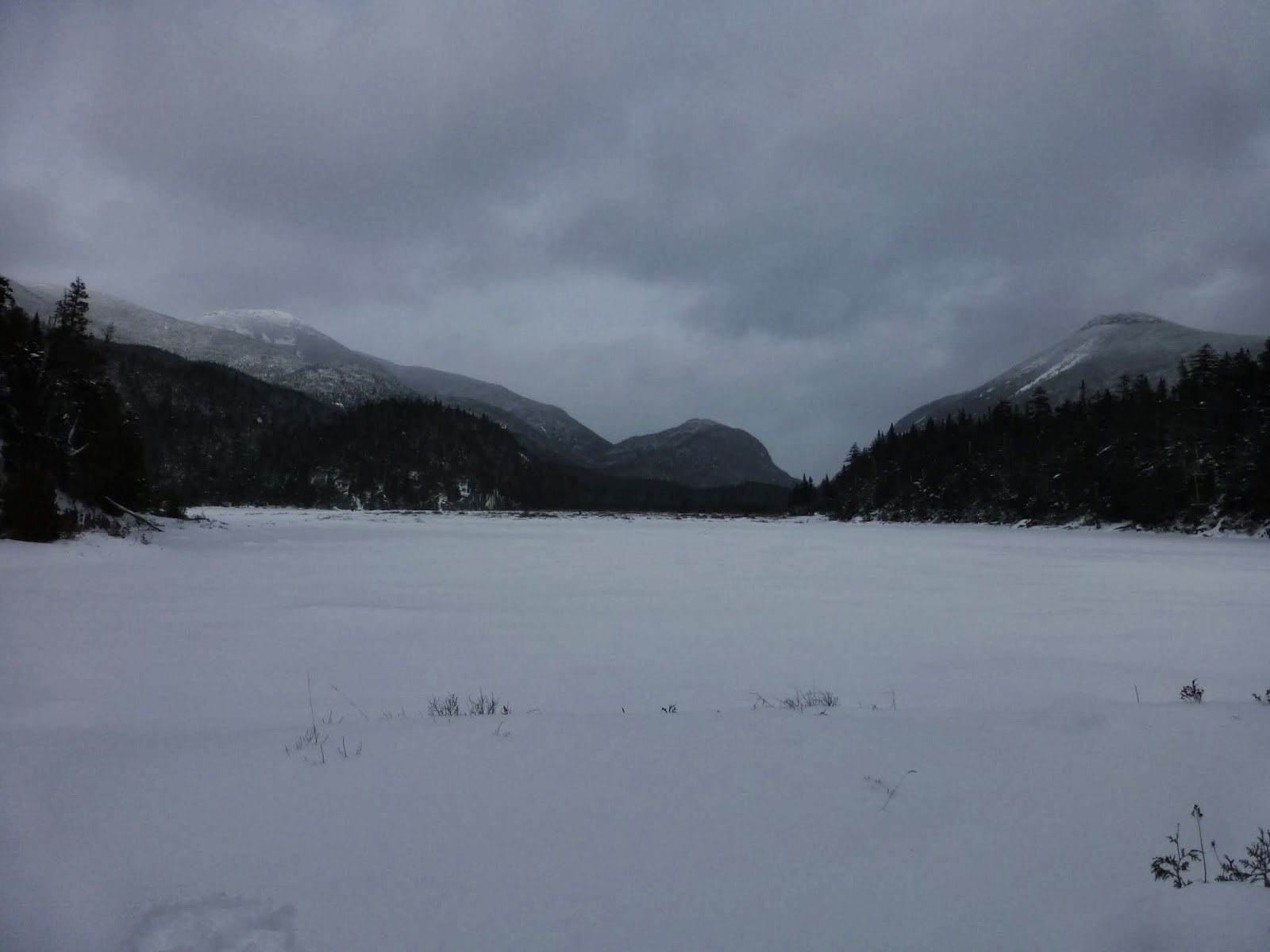
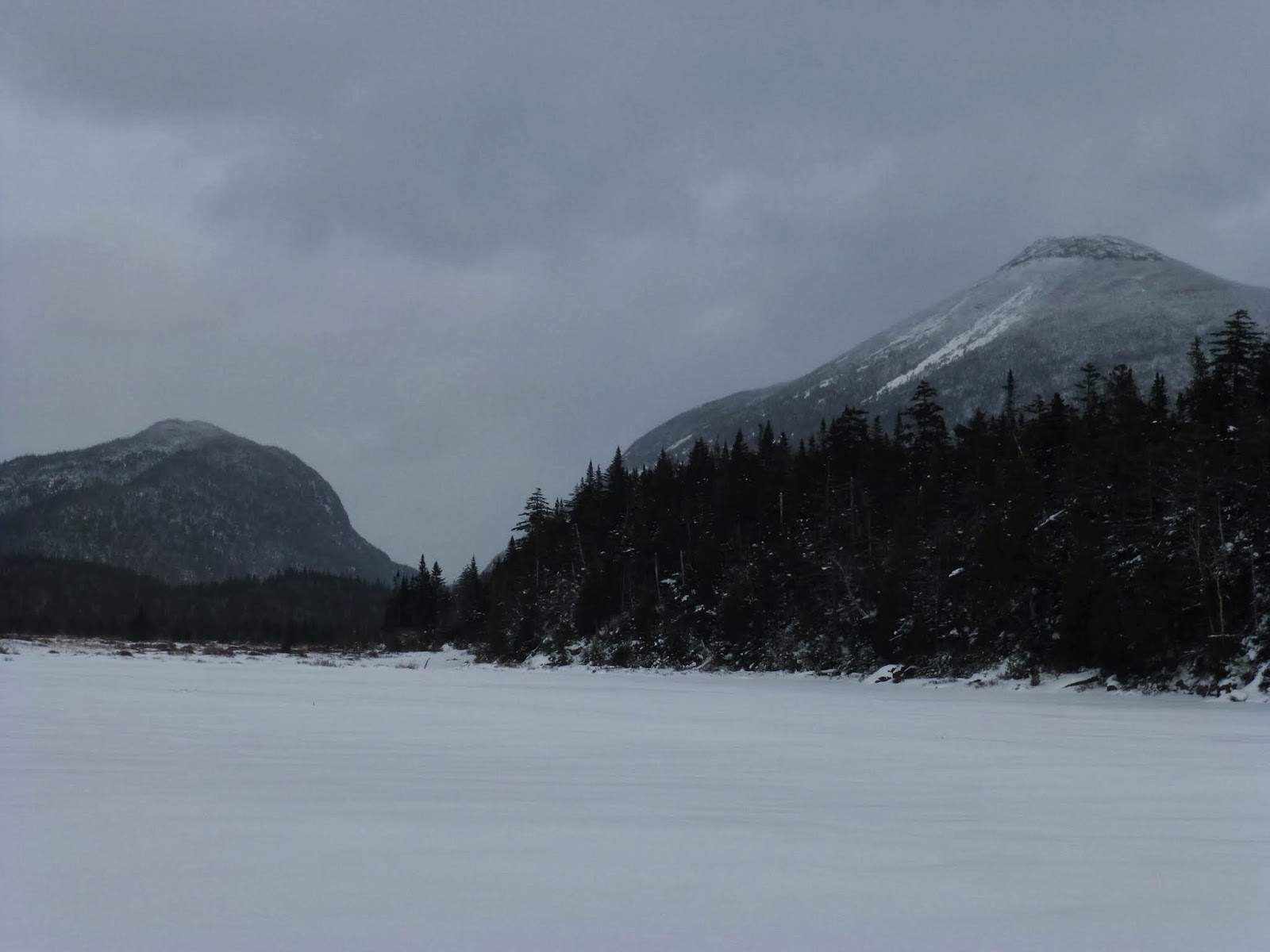
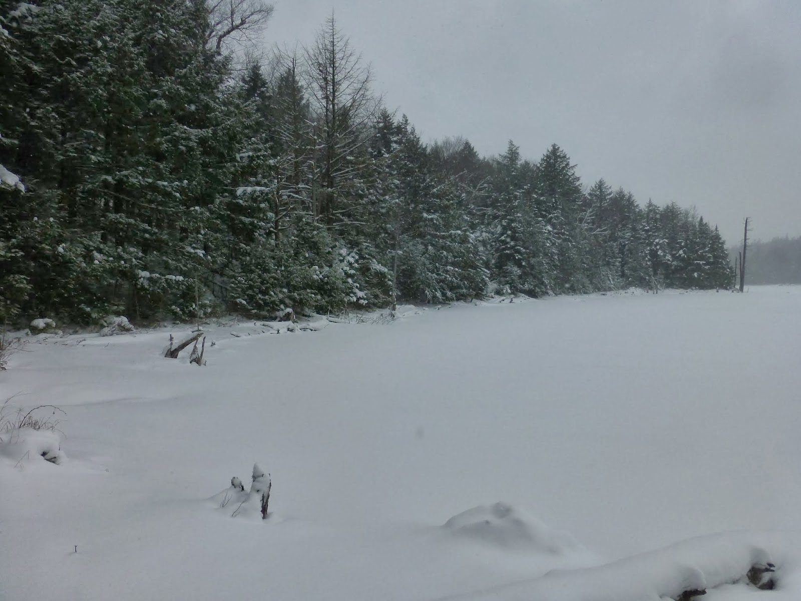
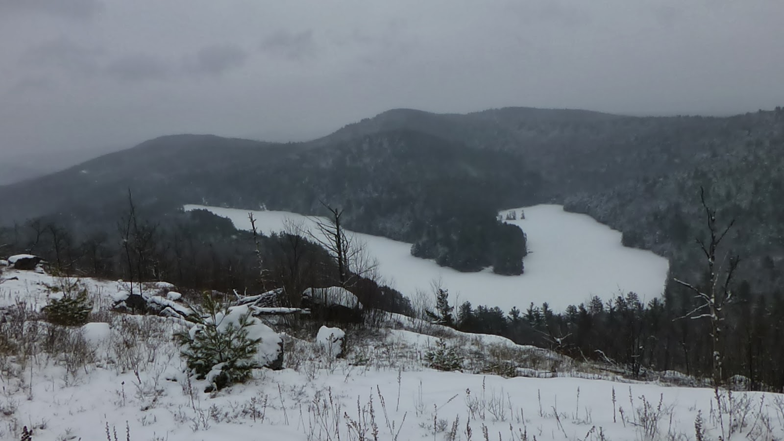
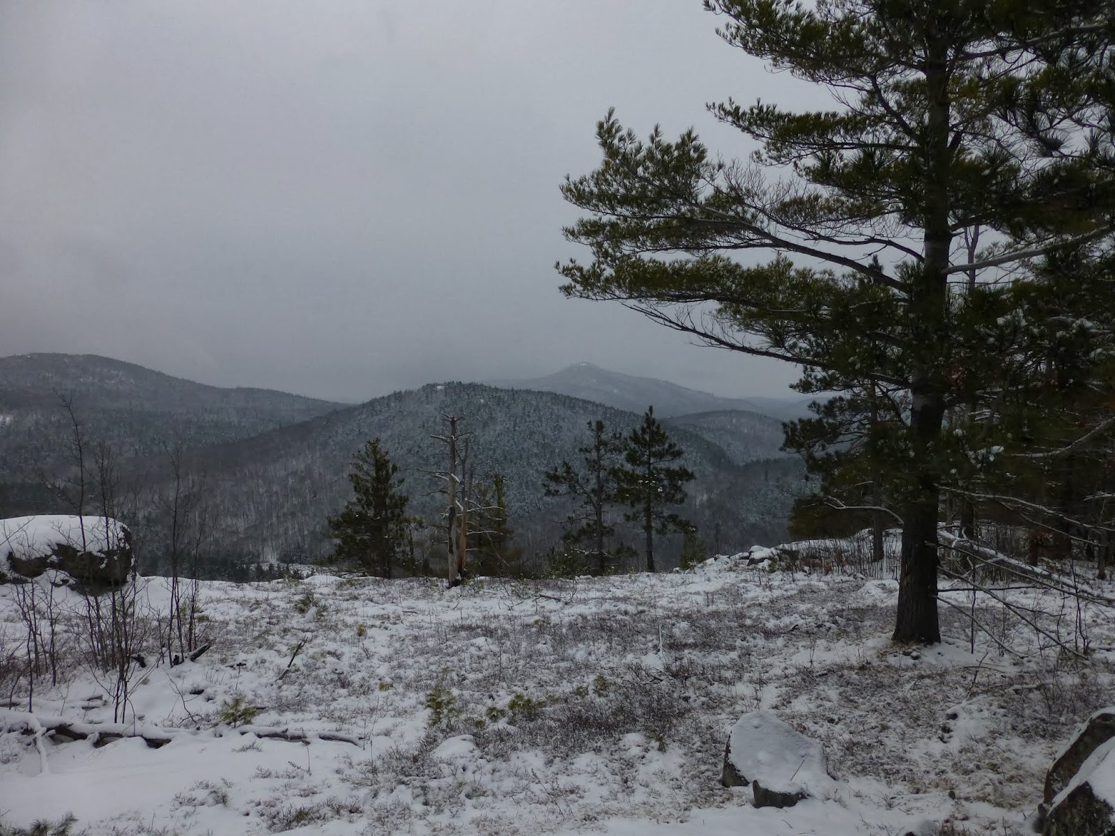
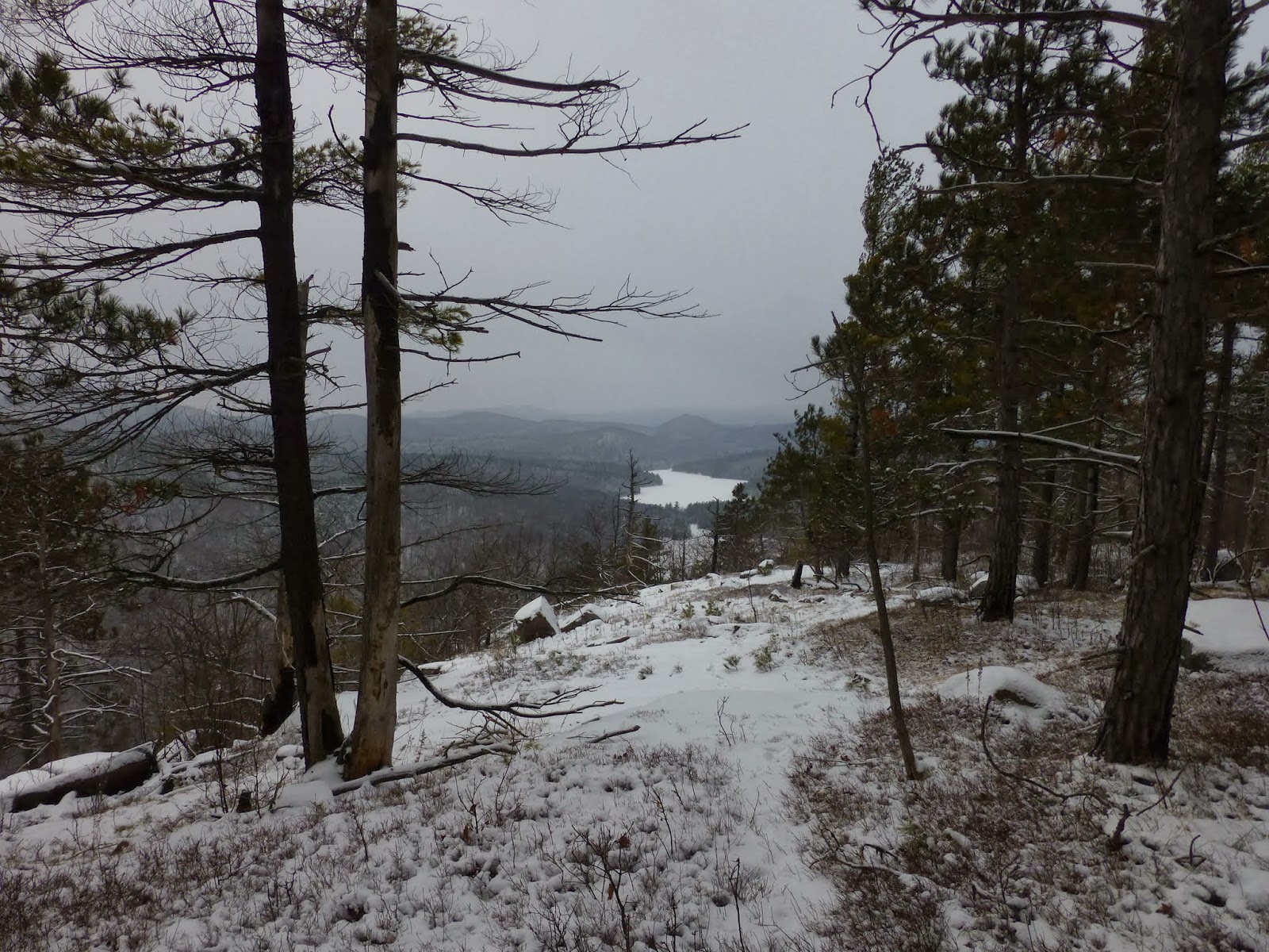
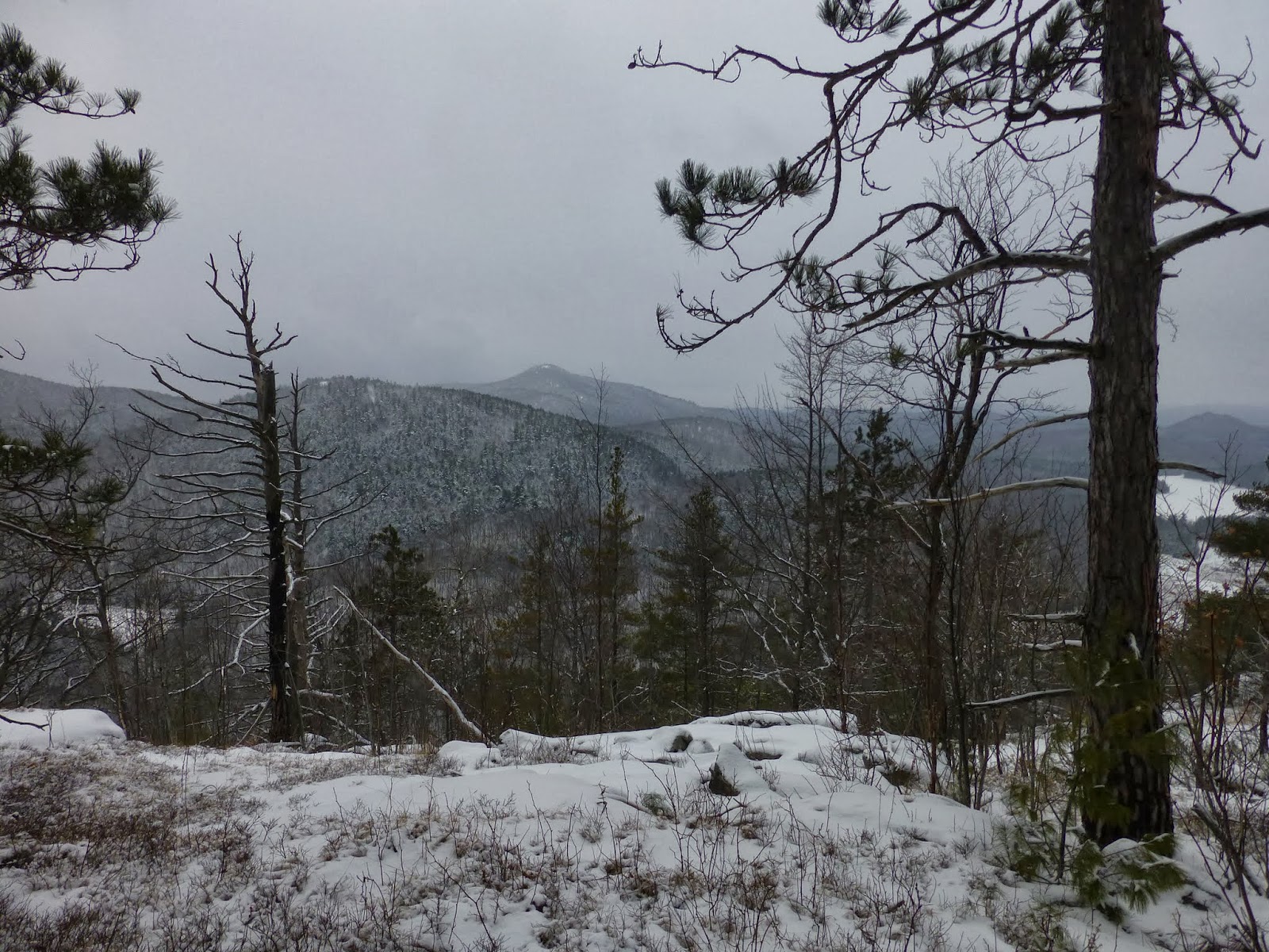
From Catamount, I worked my way down the ridge on the east face and headed towards another un-named hill.  This hill seemed like it would have had the nicest view of the day if visibility had been better.  I could barely see neighboring hills and ridgelines though.  

From this hill I headed due south to return to Bloomer Mountain.  In the valleys I was able to cross several creeks and vlys without any problems. 


Un-named hill


Rev checking out our next move
 
 
Ponorama of the un-named hill


The way down to get back to Bloomer Mountain
 
Just before I reached the last stream crossing, I cam across what appeared to be the remains of an old road. Looking at the topo map, it appears it may be a continuation of a road that leads west from Sabbath Day Point. 

An old road?

I crossed the last vly and made my way back up Bloomer Mountain to reconnect with my track on the ridge from the morning.  As I climbed, I noticed that I had broken one of my microspikes.  One of the chains had ripped out of the rubber eyelet.  After this happened, the microspike didn't stay on very well.   It was good that the microspike broke near the end of the hike and not the beginning.


As we neared the car, Rev found a bone from some animal and she wasn't too keen on leaving it behind, but it wasn't coming in the car with us, so I made her part with it.  She did get a treat at the car though.
 
Hike Stats:
Hike Distance:  7 miles
Hike Time:  5.5 hours
Total Vertical Gain:  ~2500'


Sunday, January 19, 2014

Potter and Bear Mountains - Pharaoh Lakes Wilderness - 1/19/14

One hike for me often leads to another.  In this case, I had hiked to Gooseneck Pond in the Pharaoh Lakes Wilderness Area back in December and while there, I spent some time eyeing Potter Mountain.  It appeared to boast a long open ridge that without a doubt, offered views back down to where I was at Gooseneck Pond.  The first thing I did when I got back home was to add a trip to Potter Mountain to my future hike list.
 
On this day, Leesa, Rev and I got an 8:30 start from the Long Swing Trail on Route 74 near Chilson.   It was snowing lightly and there wasn't much visibility, but we were hoping it would clear.  It was about 20 degrees. 
 
We followed the Long Swing Trail for 1.5 miles before branching left to begin our bushwhack towards Potter Mountain.  The woods were open and the ground conditions were fine for microspikes.  There was only 1-3 inches of snow on the ground throughout the hike.  
 
We were angling towards the southwest edge of Potter Mountain.  As we approached the ridgeline, we were greeted by a thick forest saplings.  We skirted around the SW corner of the ridge in hopes of bypassing the saplings.  We had to wade through a small area  but as we got around to the SE edge of the ridge it opened up and the saplings were mostly gone.  It appears that perhaps most of this ridge was perhaps devastated by fire at some time in the past.
 
With an open eastern ridge, and a faint herd path, it was an easy walk to the true summit.  I can't think of another summit that has such a long open summit.   I was anxious to get a look down to Gooseneck Pond, and I wasn't disappointed.  As we reached the midpoint of the ridge on the east side, we were rewarded with a great view down to Gooseneck.  I could also see Peaked Hill, which I had climbed in December on the day I bushwhacked to Gooseneck Pond.    
 
 
A panorama of Gooseneck Pond from Potter Mountain
 
The snow had stopped, giving us a little bit better visibility.  The sun was trying to come out, but it wasn't quite there yet.  I want to come back to this peak in the summertime to see what this summit looks like then.
 

Gooseneck Pond
 

The open summit of Potter Mountain
 

Maybe some sun shortly?
  

An incredibly long open summit on Potter Mountain 
 
 
Pharaoh Mountain in the Distance 
  

Crane Pond
  

Pharaoh again
We made out way back down to the Long Swing Trail the same way we came up.  Once back to the trail, we decided we had enough time to head west and climb Bear Mountain as well.  Bear is an easy climb from the east.  It feels like just a gradual hill.  Once again the walking was easy. 
  

Bear Mountain


Blue skies made their arrival!
 
 
 Just as we reached the final rock ledge at the summit, we came across a lightly used path and then saw several small discs that said PLC which I knew were the Pyramid Life Center.  Apparently we were on private property and didn't know it.  There were no posted signs, but I should have known better.  It was time for us to head back anyways so we bushwhacked back towards the Long Swing Trail.   


We happened to get back to the trail right near where we had begun out bushwhack to Potter Mountain.  From there it was an easy 30 minute walk back to the car.  Just in time to get home for  the NFL Championship games.
 
Hike Stats:
Hike Distance:  7.3 miles
Hike Time:  4.5 hours
Total Vertical Gain:  ~ 1600'